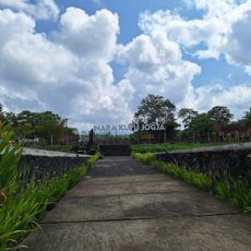
Muntilan, Administrative district in Magelang, Indonesia
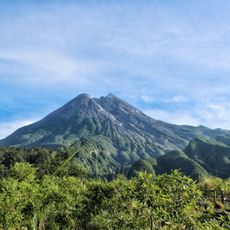
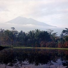
Muntilan is an administrative district in Magelang situated on the slopes of Mount Merapi, encompassing fourteen villages across 28 square kilometers at 377 meters elevation. The area is characterized by volcanic terrain and a network of waterways that shape the landscape.
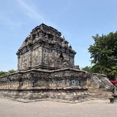
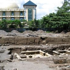
The district gained administrative status in 1900 during colonial reorganization, transitioning from Yogyakarta Sultanate control to emerge as a regional center. This period marked significant changes in local governance and development patterns.
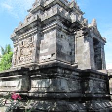
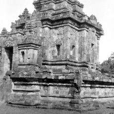
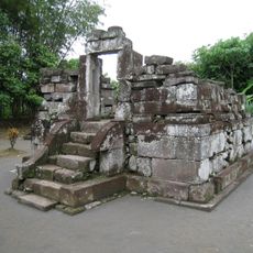
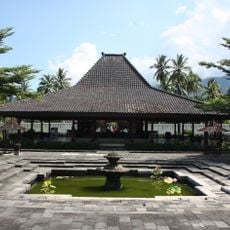
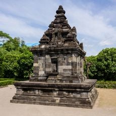
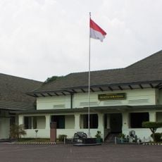
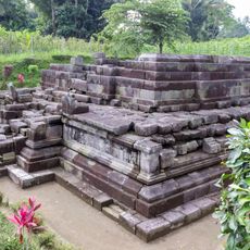
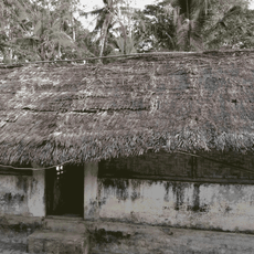
The district shows significant religious diversity, with Catholic institutions standing alongside Islamic schools and traditional Javanese customs that shape everyday community life. This coexistence reflects the values and practices visible throughout the region.
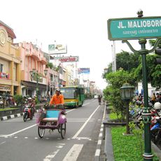
The district is well connected to major cities through a national road network, positioned roughly 15 kilometers from Magelang. Visitors should come prepared for hilly terrain and the region's tropical rainfall patterns when planning their time here.
Three rivers originating from Mount Merapi flow through the district, carrying volcanic materials that make the soil exceptionally fertile for farming. This natural enrichment has shaped agricultural practices across the region for generations.
The community of curious travelers
AroundUs brings together thousands of curated places, local tips, and hidden gems, enriched daily by 60,000 contributors worldwide.