
Tanggulrejo, village in Magelang Regency, Central Java, Indonesia
Location: Tempuran
Elevation above the sea: 287 m
GPS coordinates: -7.56028,110.14389
Latest update: March 12, 2025 18:32
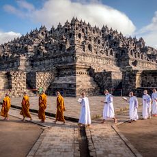
Borobudur
8.5 km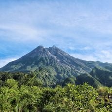
Merapi
33.4 km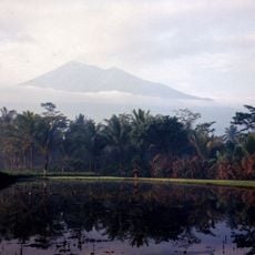
Gunung Merbabu
34.9 km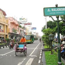
Malioboro Street
35.7 km
Gunung Sumbing
21.2 km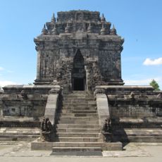
Mendut Temple
10.7 km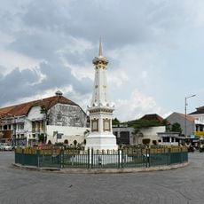
Tugu Yogyakarta
34.9 km
Monument Yogya Kembali
32.6 km
Gunung Telomoyo
35.9 km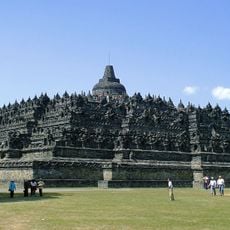
Borobudur Temple Compounds
8.4 km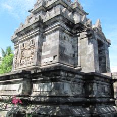
Pawon Temple
9.8 km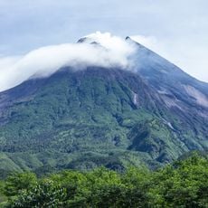
Gunung Merapi National Park
31.6 km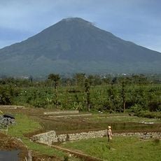
Mount Sindoro
33.1 km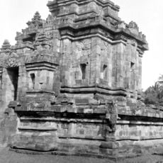
Ngawen
15 km
Punthuk Setumbu
6.6 km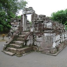
Gunung Wukir
18.8 km
Alun-Alun Purworejo
22.6 km
Wisata Alam Kalibiru
27.4 km
Karmawibhangga Museum
8.3 km
Dharma Wiratama Museum
35.6 km
Sandi Museum
35.4 km
Kimpulan Temple
33.2 km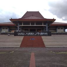
Grha Sabha Pramana
34.8 km
UGM Campus Mosque
35.2 km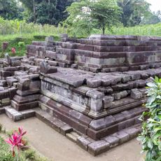
Candi Pendem
23.3 km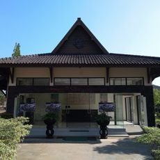
Samudra Raksa Museum
8.2 km
Bale Kanem
33.2 km
Yogyakarta City Library
35.6 kmReviews
Visited this place? Tap the stars to rate it and share your experience / photos with the community! Try now! You can cancel it anytime.
Discover hidden gems everywhere you go!
From secret cafés to breathtaking viewpoints, skip the crowded tourist spots and find places that match your style. Our app makes it easy with voice search, smart filtering, route optimization, and insider tips from travelers worldwide. Download now for the complete mobile experience.

A unique approach to discovering new places❞
— Le Figaro
All the places worth exploring❞
— France Info
A tailor-made excursion in just a few clicks❞
— 20 Minutes