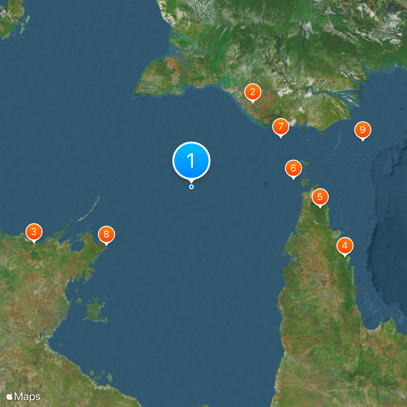
Australia–Indonesia border, Maritime boundary between Australia and Indonesia in the Indian Ocean.
The Australia–Indonesia border is a maritime boundary running through the Arafura Sea and Timor Sea that separates the waters of both countries. It extends over a considerable distance and determines which nation has authority over fishing and resource use in different zones.
Australia and Indonesia first established a maritime boundary agreement in 1971 as both nations sought to clarify their territorial claims. Subsequent treaties in the 1970s and 1990s refined the arrangement to address changing resource issues and regional needs.
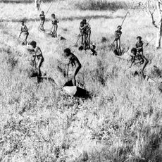
Marine communities along the border maintain traditional fishing practices while adapting to international maritime regulations and territorial distinctions.
The border is monitored by patrol vessels from both countries to ensure compliance with international agreements. For visitors, it is important to know that these waters are strictly controlled and not freely accessible to the public.
The border creates an unusual arrangement for resource use where Indonesia manages the surface waters while Australia controls the seabed minerals. This shared jurisdiction is relatively rare for maritime agreements and shows how complex international arrangements can be designed.
The community of curious travelers
AroundUs brings together thousands of curated places, local tips, and hidden gems, enriched daily by 60,000 contributors worldwide.