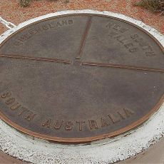
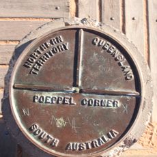
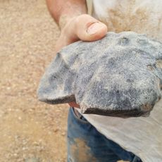
Strzelecki Desert, Desert region in New South Wales, Queensland, and South Australia.
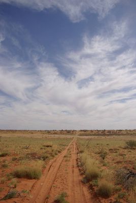
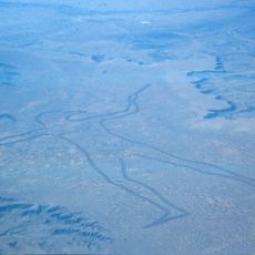
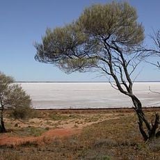
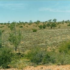
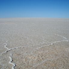
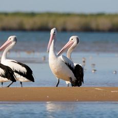
The Strzelecki Desert is a vast arid region spanning parts of New South Wales, Queensland, and South Australia, characterized by extensive dune fields and dry riverbeds. Several waterways including the Diamantina River, Cooper Creek, and Strzelecki Creek cut through the landscape, though they flow only during wetter periods.
The desert was named after Polish explorer Paweł Edmund Strzelecki when Charles Sturt designated it during his 1845 expedition through the Australian interior. This naming reflected the region's significance in European exploration of the Australian Outback during the 1800s.
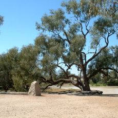
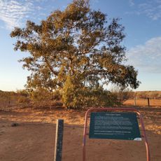
Indigenous ranger teams maintain traditional land management practices across the desert, preserving ecological knowledge through generations while protecting native species.
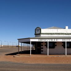
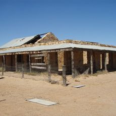
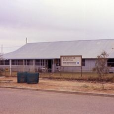
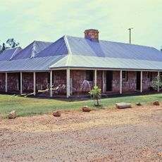
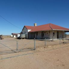
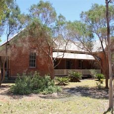
The region requires specialized equipment including four-wheel-drive vehicles and substantial water supplies to cross the remote terrain safely. Visitors should prepare for limited services and harsh conditions, as infrastructure remains sparse throughout the area.
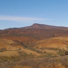
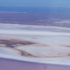
The Cobbler Sandhills near Lake Blanche feature eroded hillocks covered in vegetation, creating a distinctive landform within the broader desert environment. This area stands apart from the typical dune fields found elsewhere in the region.
The community of curious travelers
AroundUs brings together thousands of curated places, local tips, and hidden gems, enriched daily by 60,000 contributors worldwide.