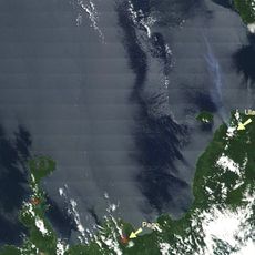
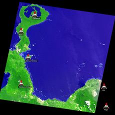
Huon Gulf, Bay in eastern Papua New Guinea.
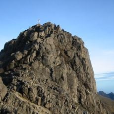
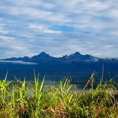
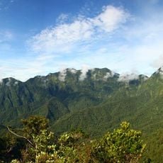
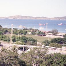
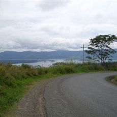
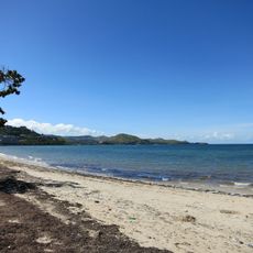
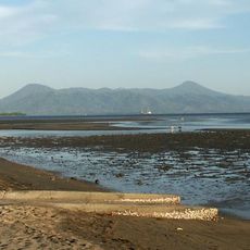
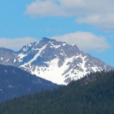
Huon Gulf is a large bay on the eastern coast of Papua New Guinea, stretching from Cape Cretin to Cape Ward Hunt. The shoreline is varied, with small coves and natural harbors backed by steep hills and mountain ranges rising close to the water.
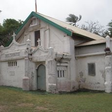
British navigator Captain John Moresby charted the bay in the 1870s, placing it on Western nautical maps for the first time. This opened the coast to international shipping and laid the groundwork for the settlements that followed.
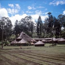
The communities along the shore speak many different local languages, some known only in a handful of villages. Fishing remains a central part of daily life, and small boats can be seen leaving the shore early in the morning.
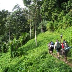
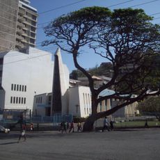
The city of Lae on the northern shore is the main starting point, with port and airport access. The bay is best seen from the water or along the coastal tracks that can be reached from Lae.
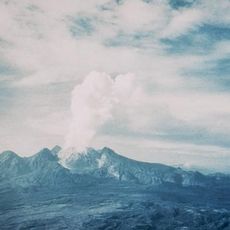
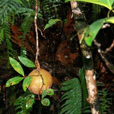
The coast shifts from flat beach to steep mountain within a very short distance, creating unusually abrupt transitions between different plant and animal worlds. This means that each small section of the shoreline feels almost like its own separate environment.
The community of curious travelers
AroundUs brings together thousands of curated places, local tips, and hidden gems, enriched daily by 60,000 contributors worldwide.