Kalaupapa, Former leprosy settlement on Molokai Island, United States.
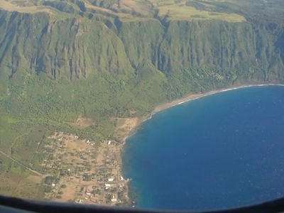
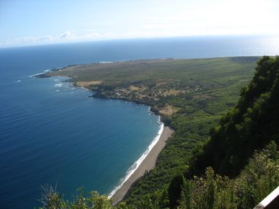
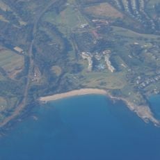
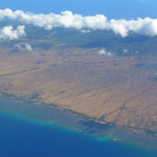
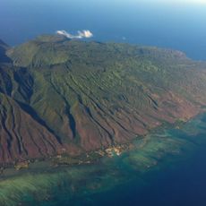
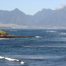
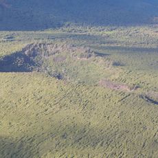
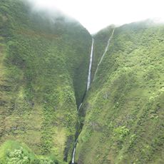
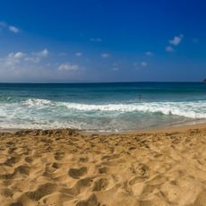
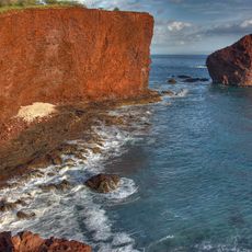
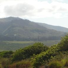
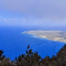
Kalaupapa is a former leprosy settlement on the peninsula at the northern edge of Molokaʻi Island in Hawaii, United States. The peninsula stretches into the ocean and is separated from the rest of the island by steep cliffs rising about 2,000 feet (600 meters).
The Hawaii Board of Health began forcibly relocating people with leprosy to this remote peninsula in 1866. The quarantine policy lasted over a century and affected thousands of patients, until the last compulsory isolation laws were lifted in the 1960s.
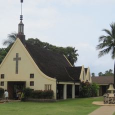
The settlement is managed by a small group of residents who were once patients here and chose to remain. Visitors may enter only with permission and must respect the privacy of the remaining community.
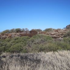
Access requires advance permission from the authorities and a guided tour, as the area remains protected. The only land route is a steep trail with 26 switchbacks or a small airstrip with limited connections.
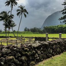
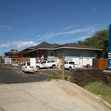
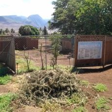
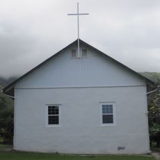
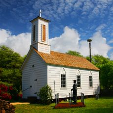
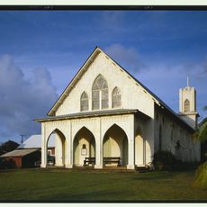
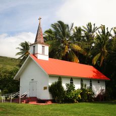
Some of the original hospital buildings and residences still stand today and show traces of the former medical infrastructure. The area was designated a National Historical Park in the 1980s to preserve the story of its inhabitants.
The community of curious travelers
AroundUs brings together thousands of curated places, local tips, and hidden gems, enriched daily by 60,000 contributors worldwide.