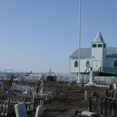
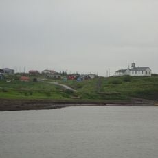
Old Crow, First Nations settlement in northern Yukon, Canada
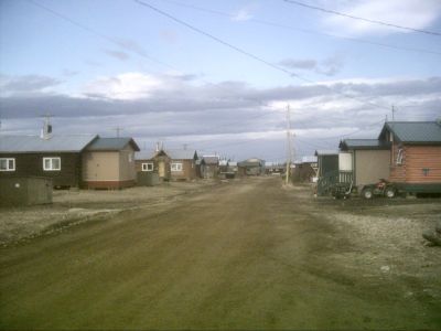
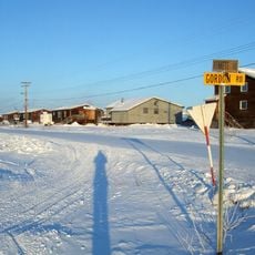
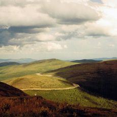
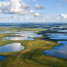
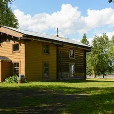
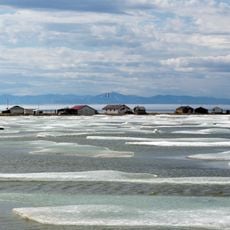
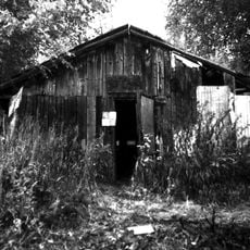
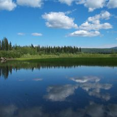
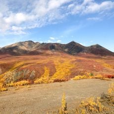
Old Crow is a settlement along the Porcupine River in northern Yukon, home to roughly 230 people living across a small area. The community sits on flat terrain near the water with modest buildings and houses adapted to the harsh northern climate.
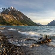
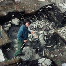
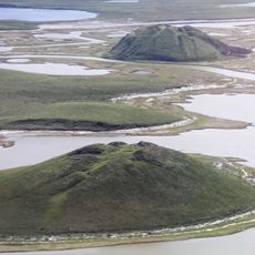
Humans have inhabited this region for 25,000 to 40,000 years, as shown by bone findings in nearby caves and flatlands. The place grew into an important settlement for the Vuntut Gwitchin, who have lived here for generations.
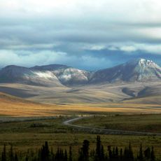
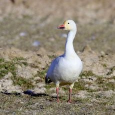
The Vuntut Gwitchin people live here and rely on hunting beaver and caribou as central to their way of life and food sources. These practices shape daily routines and how residents connect with their environment.
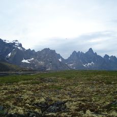
The settlement is only reachable by plane through the local airport, as no permanent roads connect it to other communities. Visitors should prepare for limited supplies, extreme cold in winter, and extended darkness during winter months.
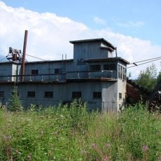
Power for the settlement comes from a microgrid system mixing diesel generators with solar panels, a practical solution for such a remote location. This setup provides some independence from regular fuel deliveries by air.
Location: Yukon
Website: http://oldcrow.ca
GPS coordinates: 67.56667,-139.80000
Latest update: December 6, 2025 16:01
Arctic National Wildlife Refuge
202 km
Dempster Highway
184 km
Bluefish Caves
383.4 km
Aklavik
213.3 km
Top of the World Highway
373.7 km
Midnight Sun Mosque
268.3 km
Ivvavik National Park
217.7 km
Vuntut National Park
83.1 km
Tombstone Territorial Park
338.2 km
Aurora College
268.8 km
Mount Isto
245 km
Pingo Canadian Landmark
341.6 km
Yukon Flats National Wildlife Refuge
303 km
Fort Egbert
315.6 km
Slaven's Cabin
287.4 km
Herschel Island-Qikiqtaruk Territorial Park
226 km
Kendall Island Migratory Bird Sanctuary
275.1 km
Coal Creek Historic Mining District
293.1 km
Biederman's Cabin
272.5 km
Peters Glacier (Brooks Range)
284.4 km
Kandik River
231.2 km
Steele Creek Roadhouse
373 km
George McGregor Cabin
287.5 km
Fort McPherson National Historic Site of Canada
209.8 km
Nagwichoonjik
257.9 km
Paddlewheel Graveyard
388 km
Eagle Historic District
316 km
Tombstone Park Viewpoint
346 kmVisited this place? Tap the stars to rate it and share your experience / photos with the community! Try now! You can cancel it anytime.
Discover hidden gems everywhere you go!
From secret cafés to breathtaking viewpoints, skip the crowded tourist spots and find places that match your style. Our app makes it easy with voice search, smart filtering, route optimization, and insider tips from travelers worldwide. Download now for the complete mobile experience.
A unique approach to discovering new places❞
— Le Figaro
All the places worth exploring❞
— France Info
A tailor-made excursion in just a few clicks❞
— 20 Minutes