
Vuntut National Park, National park in Yukon, Canada
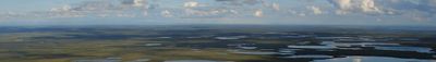
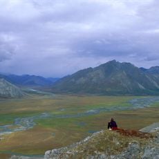
The park extends across 4,345 square kilometers of untamed Arctic landscape in northwestern Yukon, featuring lakes, wetlands, and mountain ranges.
The Canadian government established Vuntut National Park in 1995 through a land claim agreement with the Vuntut Gwitchin First Nation.
The Vuntut Gwitchin people maintain strong connections to this territory, which contains numerous archaeological sites documenting their ancestral presence.
Access to the park requires advance arrangements through Parks Canada, with no facilities or marked trails available within its boundaries.
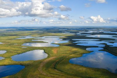
The Old Crow Flats within the park form North America's largest wetland complex, supporting thousands of nesting waterfowl during migration seasons.
Location: Yukon
Inception: September 9, 1994
Website: http://pc.gc.ca/fra/pn-np/yt/vuntut
GPS coordinates: 68.30690,-140.04800
Latest update: May 22, 2025 18:06
The Yukon Territory contains natural areas and historical sites away from main routes. From sand dunes to canyons, gold rush towns and national parks in northern Canada. The region features natural phenomena like Emerald Lake, hot springs and glacier landscapes alongside museums and gold rush era historical sites.
Arctic National Wildlife Refuge
149 km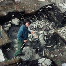
Bluefish Caves
464.9 km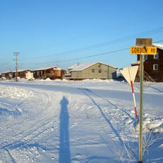
Aklavik
207.8 km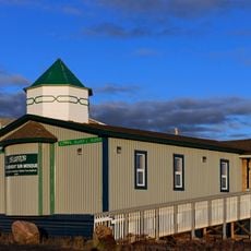
Midnight Sun Mosque
259.3 km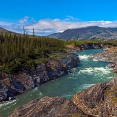
Ivvavik National Park
67.9 km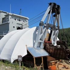
Dredge No. 4
486.8 km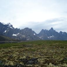
Tombstone Territorial Park
413 km
Aurora College
260.1 km
Mount Isto
181.3 km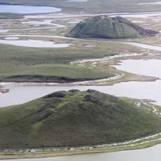
Pingo Canadian Landmark
304.9 km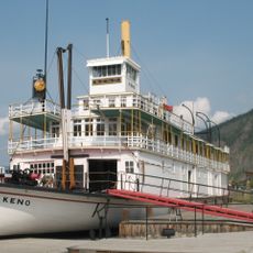
SS Keno
473.2 km
Yukon Flats National Wildlife Refuge
336.7 km
White Mountains National Recreation Area
468.7 km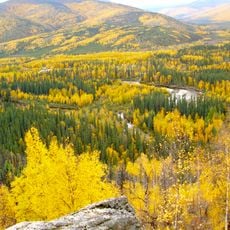
Chena River State Recreation Area
468.1 km
Leffingwell Camp Site
315.7 km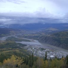
Tr'ochëk
474.5 km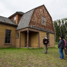
Fort Egbert
394.9 km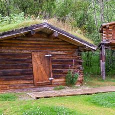
Jack London Cabin
474.1 km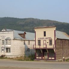
Yukon Hotel
473.6 km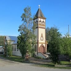
St. Paul's Anglican Church
473.7 km
North Fork Koyukuk River
461.7 km
Slaven's Cabin
355.4 km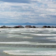
Herschel Island-Qikiqtaruk Territorial Park
147 km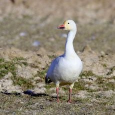
Kendall Island Migratory Bird Sanctuary
229.8 km
Gallagher Flint Station Archeological Site
366.8 km
Coal Creek Historic Mining District
361 km
Itkillik River
434.8 km
Biederman's Cabin
344 kmReviews
Visited this place? Tap the stars to rate it and share your experience / photos with the community! Try now! You can cancel it anytime.
Discover hidden gems everywhere you go!
From secret cafés to breathtaking viewpoints, skip the crowded tourist spots and find places that match your style. Our app makes it easy with voice search, smart filtering, route optimization, and insider tips from travelers worldwide. Download now for the complete mobile experience.

A unique approach to discovering new places❞
— Le Figaro
All the places worth exploring❞
— France Info
A tailor-made excursion in just a few clicks❞
— 20 Minutes