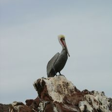
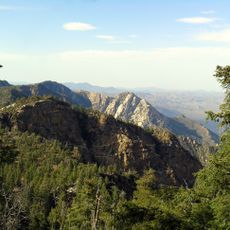
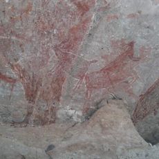
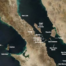
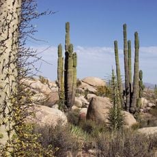
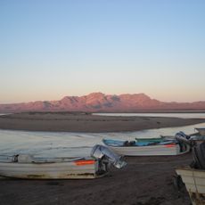
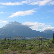
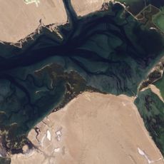
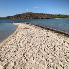
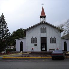
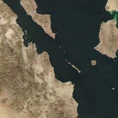
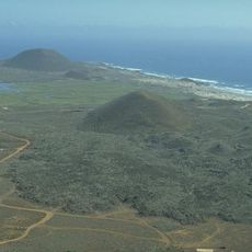
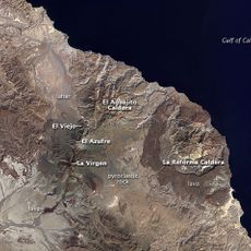
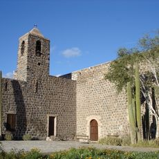
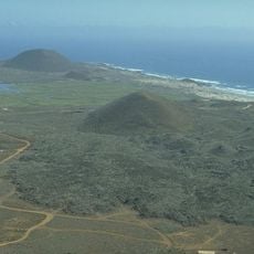
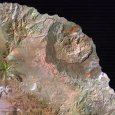
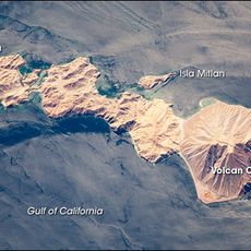
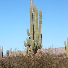
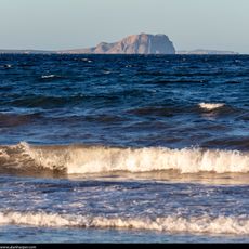
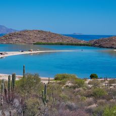
Bahía Tortugas, human settlement in Baja California Sur, Mexico
Location: Mulegé
Inception: 1945
GPS coordinates: 27.69167,-114.89556
Latest update: June 19, 2025 15:35
El Vizcaíno Biosphere Reserve
66.7 km
Sierra de San Pedro Mártir National Park
362.5 km
Rock Paintings of Sierra de San Francisco
182.1 km
Archangel Island
234.6 km
National Astronomical Observatory of San Pedro Mártir
377.2 km
Valle de los Cirios
261.7 km
Islands and Protected Areas of the Gulf of California
317.6 km
Tres Vírgenes
228.7 km
Picacho del Diablo
370.1 km
Laguna Ojo de Liebre
63.9 km
San Ignacio Lagoon
193.6 km
Iglesia de Santa Bárbara
262.3 km
San Lorenzo Marine Archipelago National Park
221.6 km
Estrecho del Infiernillo
309.8 km
San Pedro Mártir Island
265.6 km
Bahía de San Quintín
322.5 kmSierra de Guadalupe cave paintings
185 km
La Reforma
247.8 km
Misión Santa Rosalía de Mulegé
301.5 km
San Quintín Volcanic Field
327.4 km
Aguajito
231.7 kmEl Gallo Formation
282.2 km
Coronado
205.7 km
Valle de Los Gigantes
355 km
Punta Púlpito
366.2 km
Playa el Requesón
325.3 km
Catavina Rock Paintings
229.8 km
San Borjitas Cave
276.6 kmVisited this place? Tap the stars to rate it and share your experience / photos with the community! Try now! You can cancel it anytime.
Discover hidden gems everywhere you go!
From secret cafés to breathtaking viewpoints, skip the crowded tourist spots and find places that match your style. Our app makes it easy with voice search, smart filtering, route optimization, and insider tips from travelers worldwide. Download now for the complete mobile experience.
A unique approach to discovering new places❞
— Le Figaro
All the places worth exploring❞
— France Info
A tailor-made excursion in just a few clicks❞
— 20 Minutes