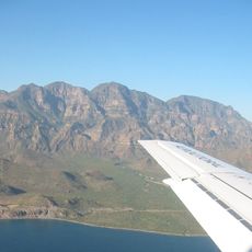
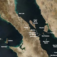
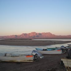
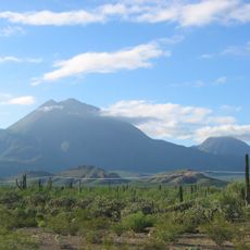
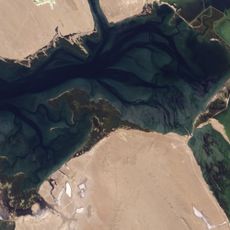
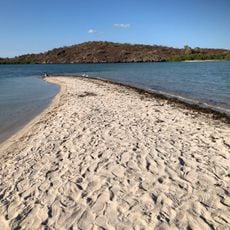
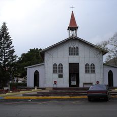
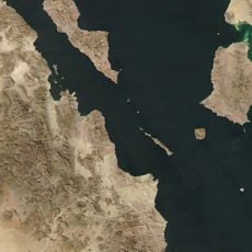
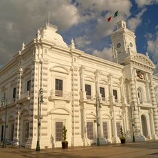
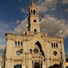
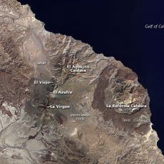
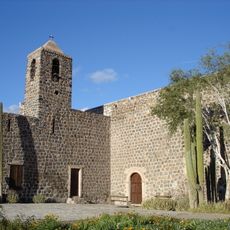
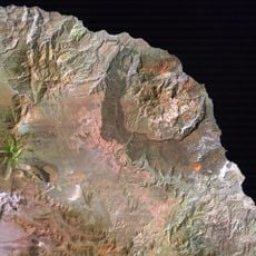
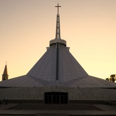
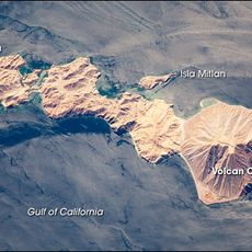
Mulegé, municipality of Baja California Sur, Mexico
Location: Baja California Sur
Inception: January 1, 1972
Capital city: Santa Rosalía
Shares border with: Comondú, Loreto
Website: http://mulege.gob.mx
GPS coordinates: 27.21667,-113.31667
Latest update: March 3, 2025 02:54
El Vizcaíno Biosphere Reserve
110.4 km
Rock Paintings of Sierra de San Francisco
51.8 km
Catedral de Hermosillo
310.3 km
Bahía de Loreto National Park
237.4 km
Archangel Island
228.5 km
Islands and Protected Areas of the Gulf of California
173 km
Tres Vírgenes
77.1 km
Estadio Sonora
302.8 km
Laguna Ojo de Liebre
109.6 km
San Ignacio Lagoon
42.4 km
Iglesia de Santa Bárbara
104.5 km
San Lorenzo Marine Archipelago National Park
176 km
Estrecho del Infiernillo
238.2 km
San Pedro Mártir Island
163.3 km
Hermosillo Tower
313.4 km
Government Palace of Sonora
310.5 km
Our Lady of Mount Carmel Church
311.2 km
Arena Sonora
334 km
Sierra de Guadalupe cave paintings
54.2 km
La Reforma
97 km
Misión Santa Rosalía de Mulegé
137 km
Hermosillo Sonora México Temple
313.3 km
Aguajito
84.4 km
Sacred Heart of Jesus Cathedral, Ciudad Obregón
336 km
Sonora Museum of Art
310.2 km
Coronado (volcano)
208.7 km
Loreto
237.8 km
Reviews
Visited this place? Tap the stars to rate it and share your experience / photos with the community! Try now! You can cancel it anytime.
Discover hidden gems everywhere you go!
From secret cafés to breathtaking viewpoints, skip the crowded tourist spots and find places that match your style. Our app makes it easy with voice search, smart filtering, route optimization, and insider tips from travelers worldwide. Download now for the complete mobile experience.
A unique approach to discovering new places❞
— Le Figaro
All the places worth exploring❞
— France Info
A tailor-made excursion in just a few clicks❞
— 20 Minutes