
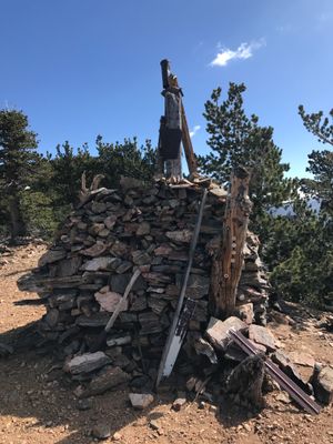
Henry Washington Survey Marker, survey marker in San Bernardino County, California
Location: San Bernardino County
GPS coordinates: 34.12030,-116.92900
Latest update: March 11, 2025 13:16
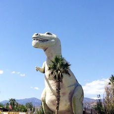
Cabazon Dinosaurs
26.5 km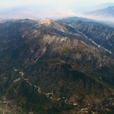
San Gorgonio Mountain
9.9 km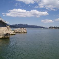
Big Bear Lake
14.2 km
San Bernardino National Forest
81.2 km
San Gorgonio Pass
28 km
Lake Arrowhead Reservoir
28.3 km
Sand to Snow National Monument
22 km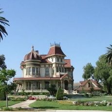
Morey Mansion
27.3 km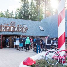
Santa's Village
1362.5 km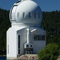
Big Bear Solar Observatory
15.4 km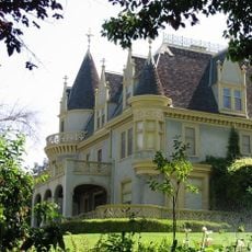
Kimberly Crest
24.3 km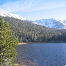
San Gorgonio Wilderness
21.7 km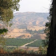
San Timoteo Canyon
27.4 km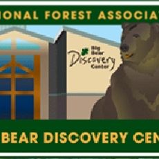
Big Bear Discovery Center
16.1 km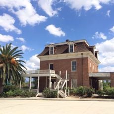
Barton Villa
27.6 km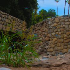
Mill Creek Zanja
19 km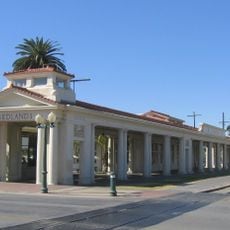
Redlands Santa Fe Depot District
24.4 km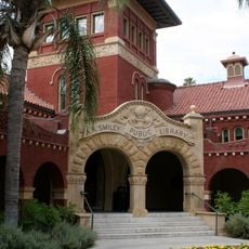
A. K. Smiley Public Library
24.6 km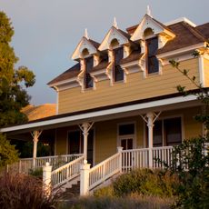
Gilman Ranch
20.2 km
Smiley Park Historic District
24.6 km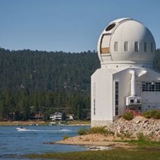
Goode Solar Telescope
15.4 km
Auerbacher Home
23.2 km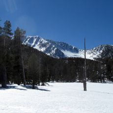
Jepson Peak
8 km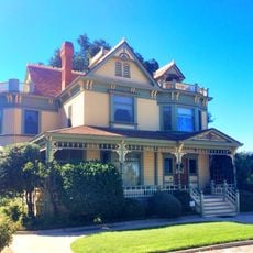
Beverly Ranch
25.3 km
Highland Historic District
25.7 km
Arboreto Heaps Peak
23.3 km
Lincoln Memorial Shrine
24.6 km
Yucaipa Regional Park
13.2 kmReviews
Visited this place? Tap the stars to rate it and share your experience / photos with the community! Try now! You can cancel it anytime.
Discover hidden gems everywhere you go!
From secret cafés to breathtaking viewpoints, skip the crowded tourist spots and find places that match your style. Our app makes it easy with voice search, smart filtering, route optimization, and insider tips from travelers worldwide. Download now for the complete mobile experience.

A unique approach to discovering new places❞
— Le Figaro
All the places worth exploring❞
— France Info
A tailor-made excursion in just a few clicks❞
— 20 Minutes