Log in to your account

AroundUs is a community-driven map of interesting places, built by curious explorers like you. It grows with every review, story, and photo you share.
Connect to save your favorite spots, contribute locations, and create personalized routes.
By continuing, you accept our Terms and Conditions and our Privacy Policy
Add to collection
Map
Suggest a change
Share

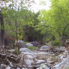
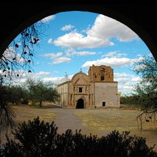
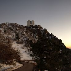
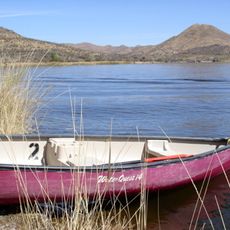
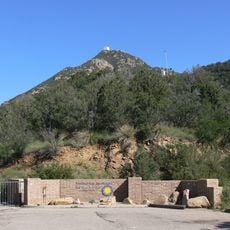
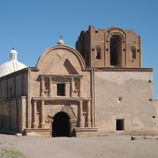
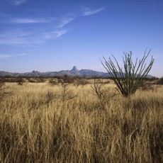
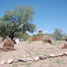
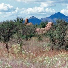
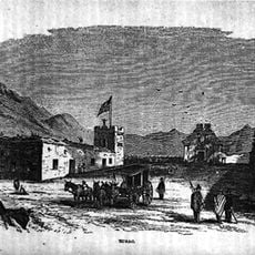
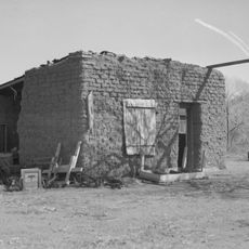
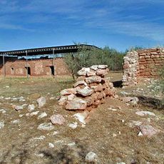
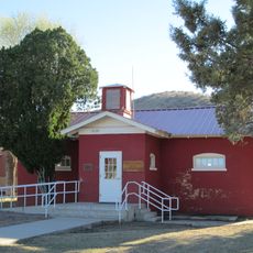
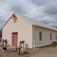
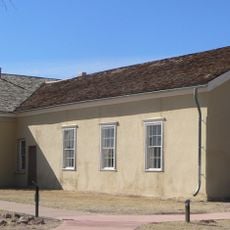
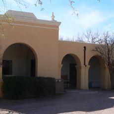
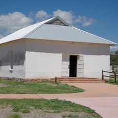
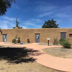
Amado, census designated place in Santa Cruz County, Arizona, United States

Location: Santa Cruz County

Elevation above the sea: 944 m

GPS coordinates: 31.70472,-111.06528

Latest update: March 9, 2025 04:53

Photos
Around this place
Titan Missile Museum
United States of America

Titan Missile Museum

23 km
Madera Canyon
United States of America

Madera Canyon

12.4 km
Empire Ranch
United States of America

Empire Ranch

41.1 km
Tumacácori National Historical Park
United States of America

Tumacácori National Historical Park

15.3 km
Mount Wrightson
United States of America

Mount Wrightson

20.6 km
VERITAS
United States of America

VERITAS

11.2 km
MMT Observatory
United States of America

MMT Observatory

17.2 km
Patagonia Lake State Park
United States of America

Patagonia Lake State Park

30.9 km
Fred Lawrence Whipple Observatory
United States of America

Fred Lawrence Whipple Observatory

17.9 km
Fort Buchanan
United States of America

Fort Buchanan

34.4 km
Tumacácori Mission
United States of America

Tumacácori Mission

15.2 km
Buenos Aires National Wildlife Refuge
United States of America

Buenos Aires National Wildlife Refuge

37 km
Tubac Presidio State Historic Park
United States of America

Tubac Presidio State Historic Park

10.5 km
Mount Hopkins
United States of America

Mount Hopkins

17.2 km
Guevavi Mission
United States of America

Guevavi Mission

36.3 km
Tucson ring meteorite
United States of America

Tucson ring meteorite

18.7 km
Tubac Presidio
United States of America

Tubac Presidio

10.5 km
Pete Kitchen Ranch
United States of America

Pete Kitchen Ranch

35.3 km
Calabazas Mission
United States of America

Calabazas Mission

29.8 km
Infrared Optical Telescope Array
United States of America

Infrared Optical Telescope Array

17.1 km
Little Red Schoolhouse
United States of America

Little Red Schoolhouse

39.7 km
Arivaca Schoolhouse
United States of America

Arivaca Schoolhouse

28.9 km
Old Tubac Schoolhouse
United States of America

Old Tubac Schoolhouse

10.5 km
San Ignacio Golf Club
United States of America

San Ignacio Golf Club

12.7 km
Tubac Presidio State Historic Park
United States of America

Tubac Presidio State Historic Park

10.6 km
Tumacácori Museum
United States of America

Tumacácori Museum

15.3 km
Otero Hall
United States of America

Otero Hall

10.5 km
Rojas House
United States of America

Rojas House

10.5 km
Show the full map
Reviews

Visited this place? Tap the stars to rate it and share your experience / photos with the community! Try now! You can cancel it anytime.

« Amado - census designated place in Santa Cruz County, Arizona, United States » is provided by Around Us (aroundus.com). Images and texts are derived from Wikimedia project under a Creative Commons license. You are allowed to copy, distribute, and modify copies of this page, under the conditions set by the license, as long as this note is clearly visible.

Discover hidden gems everywhere you go!

From secret cafés to breathtaking viewpoints, skip the crowded tourist spots and find places that match your style. Our app makes it easy with voice search, smart filtering, route optimization, and insider tips from travelers worldwide. Download now for the complete mobile experience.

Around Us App Screenshot

A unique approach to discovering new places

Le Figaro

All the places worth exploring

France Info

A tailor-made excursion in just a few clicks

20 Minutes