
Mule Creek Point, cliff in Coconino County, Arizona, United States of America
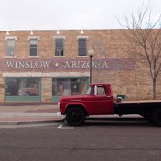
Standin' on the Corner Park
81.3 km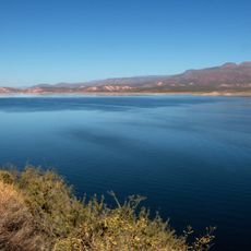
Theodore Roosevelt Lake
77.2 km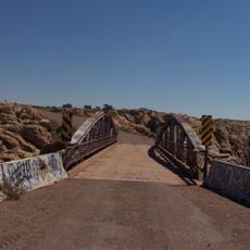
Chevelon Creek Bridge
73.6 km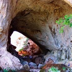
Tonto Natural Bridge
61.5 km
Blue Ridge Reservoir
48.2 km
Willow Springs Lake
8.5 km
Discovery Channel Telescope
76.5 km
Wet Beaver Wilderness
79.3 km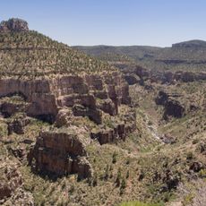
Salt River Canyon Wilderness
71.6 km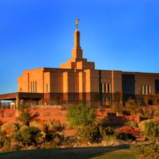
Snowflake Arizona Temple
66.3 km
Sears-Kay Ruin
68.1 km
La Posada Historic District
81.1 km
Fossil Springs Wilderness
71.4 km
Roosevelt Lake Bridge
77.3 km
Sierra Ancha Wilderness
53.6 km
Tonto Natural Bridge State Park
61.5 km
Fossil Creek Bridge
78 km
Cedar Canyon Bridge
59.6 km
Strawberry Schoolhouse
68.2 km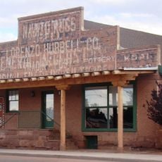
Lorenzo Hubbell Trading Post and Warehouse
81.4 km
Corduroy Creek Bridge
62.2 km
Pleasant Valley Ranger Station
24.7 km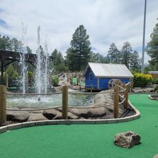
White Mountain Family Fun Park
73.3 km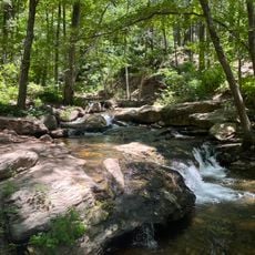
Horton Creek Trail #285
27.4 km
Tonto National Monument Visitor Center
78.5 km
Show Low Historical Society
69.4 km
Aztec Peak Lookout
55.1 km
Moqui Lookout
45.9 kmReviews
Visited this place? Tap the stars to rate it and share your experience / photos with the community! Try now! You can cancel it anytime.
Discover hidden gems everywhere you go!
From secret cafés to breathtaking viewpoints, skip the crowded tourist spots and find places that match your style. Our app makes it easy with voice search, smart filtering, route optimization, and insider tips from travelers worldwide. Download now for the complete mobile experience.

A unique approach to discovering new places❞
— Le Figaro
All the places worth exploring❞
— France Info
A tailor-made excursion in just a few clicks❞
— 20 Minutes