Chest opened
+${chestReward.xp} XP
Explorer
NOUVEAU ×${chestReward.collectible.quantity}
tapez pour fermer
Chest locked

Open chests in the app

Around Us is built for your phone — chests unlock when you walk, explore and capture nearby places.

Enable Location

We need your location to show you interesting places around you

Discover nearby places

Find interesting locations and hidden gems around you

Precise directions

Get accurate directions and distances to places

Your location is never shared with other users. It's only used when you tap the location button.

Grijalva River

Log in to your account

Start exploring — it's free

Trusted by 72,977 travelers worldwide

Continue with Google
Continue with Apple
or

We will send you a code to connect

By continuing, you accept our Terms and Conditions and our Privacy Policy

Check your inbox

We've sent a pincode in your inbox. Please enter the code below.

Grijalva River
Discussion Reviews 2 Photos
63.1k Popularity

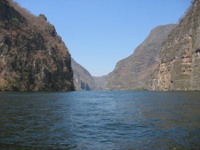
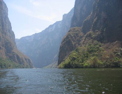
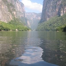
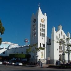
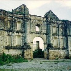
Grijalva River, Main river system in southeastern Mexico.

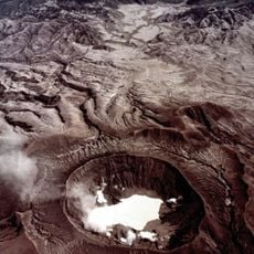
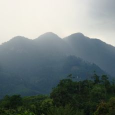
The Grijalva River flows for 700 kilometers from the Cuchumatanes Mountains in Guatemala to the Gulf of Mexico, crossing the states of Chiapas and Tabasco. The river passes through several large dams that generate electricity and winds through tropical lowlands and mountainous regions.

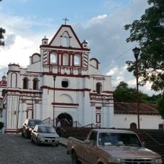
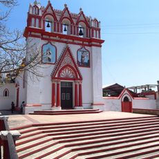
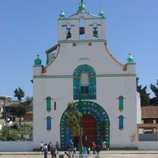
Juan de Grijalva reached the river mouth on June 8, 1518, giving the waterway its present name. The Maya Chontal who lived in the region had already known the river under the name Tabasco.

Along the riverbanks near Villahermosa, walkways invite evening strolls where locals gather to enjoy the breeze and watch the water flow. Families use these paths as meeting points to share time together in the open air beside the current.

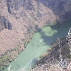
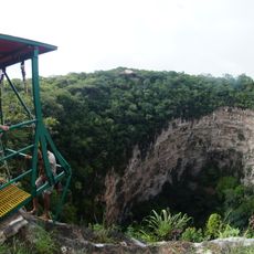
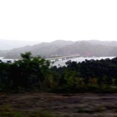
Several dams like La Angostura generate power along the course and offer viewing points at some locations to observe the engineering and landscape. Access to the riverbanks is often easiest near larger towns where paths follow the water.

At its mouth, the river forms wide wetlands called Pantanos de Centla, where it merges with the Usumacinta before both reach the sea. These swamp landscapes provide habitat for many bird species and other animals adapted to the watery world.

The community of curious travelers

AroundUs brings together thousands of curated places, local tips, and hidden gems, enriched daily by 60,000 contributors worldwide.

Start exploring
Location
Location
GPS coordinates
15.27440,-92.22850
Latest update
December 13, 2025 18:48
Reviews
Share your experience

No review yet

Discussions
Start a discussion...

No discussion yet

« Grijalva River - Main river system in southeastern Mexico » is provided by Around Us (aroundus.com). Images and texts are derived from Wikimedia project under a Creative Commons license. You are allowed to copy, distribute, and modify copies of this page, under the conditions set by the license, as long as this note is clearly visible.

Discover hidden gems everywhere you go!

From secret cafés to breathtaking viewpoints, skip the crowded tourist spots and find places that match your style. Our app makes it easy with voice search, smart filtering, route optimization, and insider tips from travelers worldwide. Download now for the complete mobile experience.

Around Us App Screenshot

A unique approach to discovering new places

Le Figaro

All the places worth exploring

France Info

A tailor-made excursion in just a few clicks

20 Minutes

Around Us
Travel Guide & Maps
Download

Send to your phone

QR Code
1

Open the camera app on your mobile.

2

Point at the QR code with your camera. A notification will appear.

3

Tap the notification to open the link.