Tabasco, State in southeastern Mexico
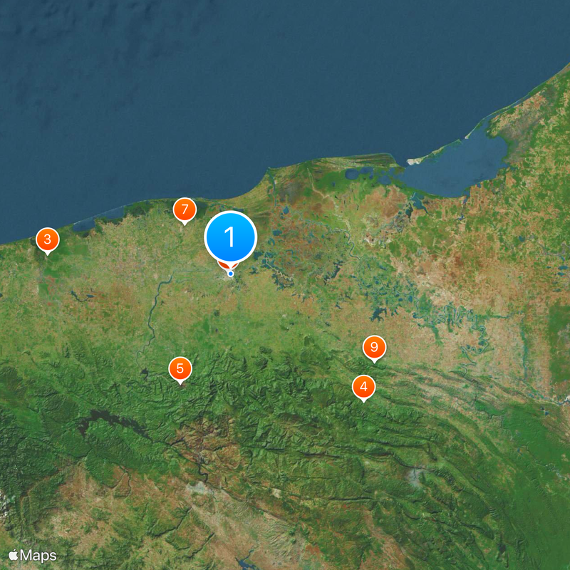
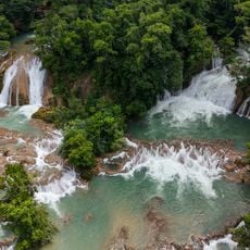
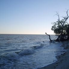
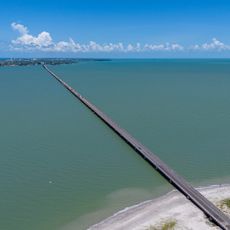
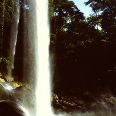
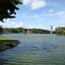
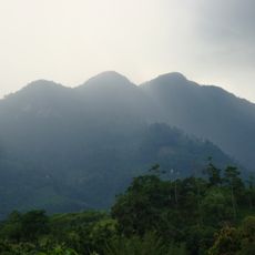
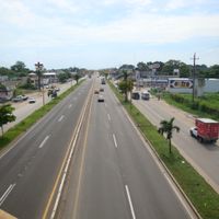
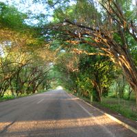
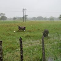
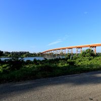
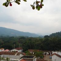
Tabasco is a state in southeastern Mexico that spreads along the Gulf of Mexico coast, characterized by flat plains and waterways. Rivers cross the entire territory and empty into lagoons, while tropical vegetation dominates the landscape and covers wide stretches of wetlands.
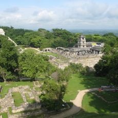
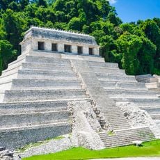
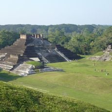
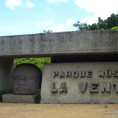
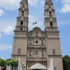
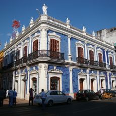
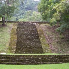
Spanish expeditions reached this coast in the early 16th century, bringing colonial powers into contact with the indigenous groups who had lived here for centuries. The area later became part of independent Mexico and developed into an important center for trade in agricultural products.
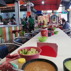
Residents value chocolate as part of their tradition, and the name of this place appears today on labels of well-known hot sauce bottles around the world. Local markets display fresh cacao beans and spicy products that visitors can sample and purchase.
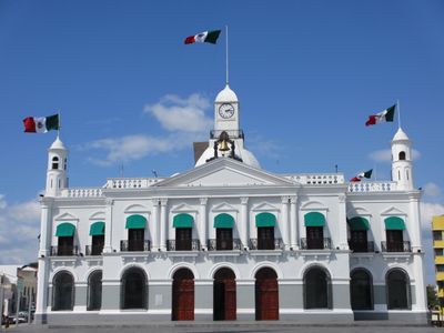
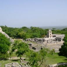
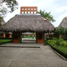
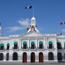
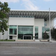
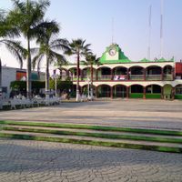
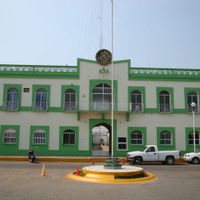
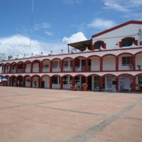
The capital city Villahermosa offers connections to other regions and serves as a starting point for trips to rural areas with villages and smaller towns. The climate remains warm and humid throughout the year, with frequent rainfall that occurs mainly between June and October.
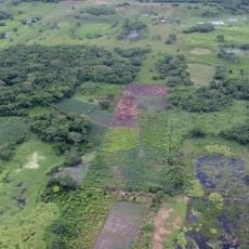
The region produces the largest share of cacao grown in Mexico and supplies chocolate makers across the country. This growing area benefits from consistently high temperatures and humidity that create ideal conditions for cacao trees.
The community of curious travelers
AroundUs brings together thousands of curated places, local tips, and hidden gems, enriched daily by 60,000 contributors worldwide.