Sierra Madre de Chiapas, Mountain range in southern Chiapas, Mexico.
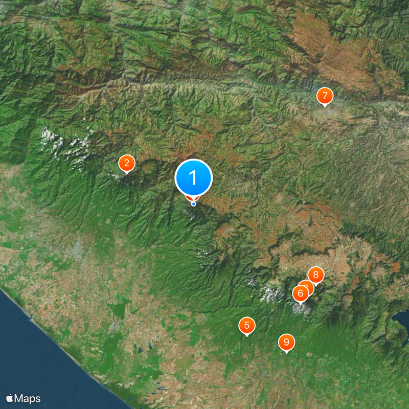
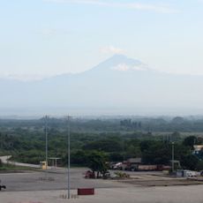
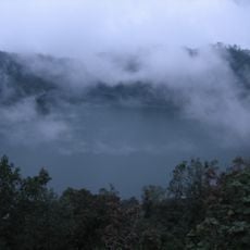
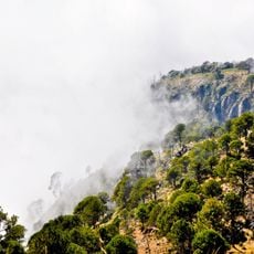
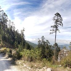
The Sierra Madre de Chiapas is a mountain range running along the Pacific coast from the Isthmus of Tehuantepec into western Guatemala, with peaks reaching 4,220 meters high. It acts as a natural dividing line between Pacific and Atlantic river systems, creating different climate zones across its slopes.
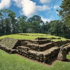
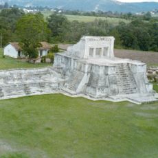
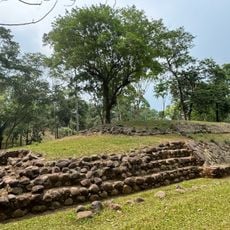
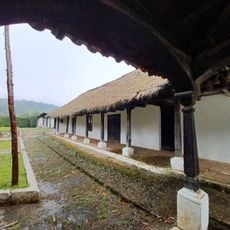
The range was home to Maya settlements between 300 and 900 AD before falling under Aztec control in the late 1400s. Spanish arrival in 1524 brought major changes to the region's political and social structures.
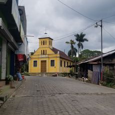
The mountain range shapes how people in the region live and work, with cacao and coffee farming defining the economy and daily rhythms of communities. These crops remain central to local identity and tie families to the slopes they have worked for many generations.
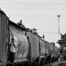
The Pan-American Highway and the inter-American railway run through the mountains, connecting multiple communities and making travel along the range straightforward. Both routes follow the western slopes, giving visitors clear pathways for exploration.
The range supports multiple forest ecosystems shaped by its role as a natural watershed between two major river systems, a fact many visitors overlook. This ecological diversity creates surprising variations in vegetation and wildlife as you move across the mountains.
The community of curious travelers
AroundUs brings together thousands of curated places, local tips, and hidden gems, enriched daily by 60,000 contributors worldwide.