Enable Location

We need your location to show you interesting places around you

Discover nearby places

Find interesting locations and hidden gems around you

Precise directions

Get accurate directions and distances to places

Your location is never shared with other users. It's only used when you tap the location button.

Usumacinta River

Log in to your account

Start exploring — it's free

Trusted by 68,288 travelers worldwide

Continue with Google
Continue with Apple
or

We will send you a code to connect

By continuing, you accept our Terms and Conditions and our Privacy Policy

Check your inbox

We've sent a pincode in your inbox. Please enter the code below.

Usumacinta River
Discussion Reviews 3 Photos
69.3k Popularity

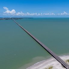
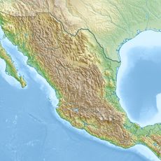
Usumacinta River, Main river system in Chiapas and Tabasco, Mexico.

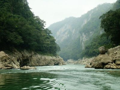
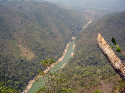
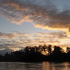
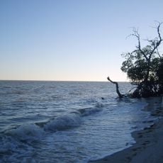
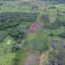
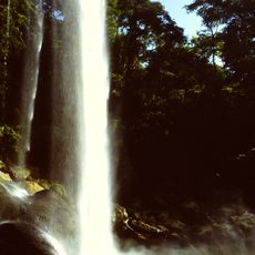
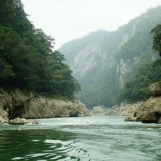
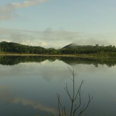
The Usumacinta is a waterway in southeastern Mexico flowing through the states of Chiapas and Tabasco, forming parts of the border with Guatemala. It winds through tropical rainforest and eventually reaches a broad wetland delta on the Gulf of Mexico.

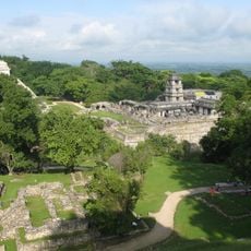
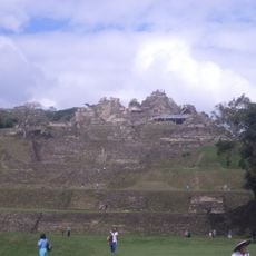
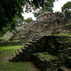
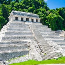
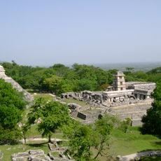
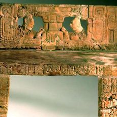
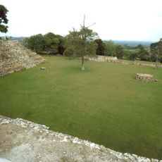
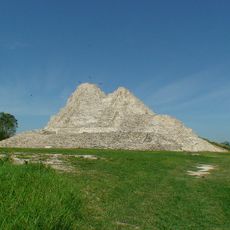
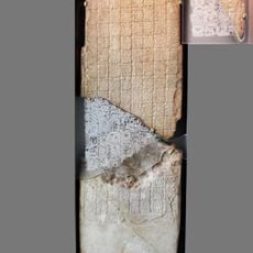
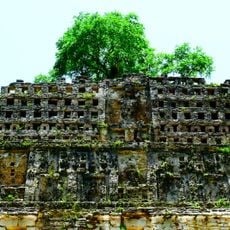
Maya settlements appeared along the banks from the first millennium BC onward, using the waterway as a trade route. European explorers reached the region in the 16th century and named the waterway after local designations.

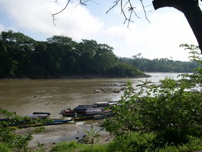
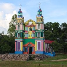
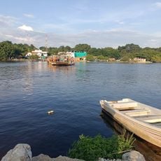
The name comes from a term meaning "monkeys" or "howler monkeys" in the language of the Chontal Maya, referring to the loud animals living along the banks. Local communities still use traditional canoes for fishing and travel between remote villages.

Boat trips usually start from small docks near archaeological sites, with journeys lasting from a few hours to a full day. Sun protection and insect repellent are helpful due to tropical conditions.

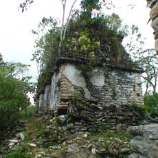
Rare crocodile species still inhabit quieter stretches and side channels, though their numbers have declined over recent decades. Some ruins along the banks are accessible only by boat and remain hidden beneath jungle vegetation.

The community of curious travelers

AroundUs brings together thousands of curated places, local tips, and hidden gems, enriched daily by 60,000 contributors worldwide.

Start exploring
Location
GPS coordinates
16.47972,-90.54361
Latest update
December 13, 2025 17:53
Reviews
Share your experience

No review yet

Discussions
Start a discussion...

No discussion yet

« Usumacinta River - Main river system in Chiapas and Tabasco, Mexico » is provided by Around Us (aroundus.com). Images and texts are derived from Wikimedia project under a Creative Commons license. You are allowed to copy, distribute, and modify copies of this page, under the conditions set by the license, as long as this note is clearly visible.

Discover hidden gems everywhere you go!

From secret cafés to breathtaking viewpoints, skip the crowded tourist spots and find places that match your style. Our app makes it easy with voice search, smart filtering, route optimization, and insider tips from travelers worldwide. Download now for the complete mobile experience.

Around Us App Screenshot

A unique approach to discovering new places

Le Figaro

All the places worth exploring

France Info

A tailor-made excursion in just a few clicks

20 Minutes

Around Us
Travel Guide & Maps
Download

Send to your phone

QR Code
1

Open the camera app on your mobile.

2

Point at the QR code with your camera. A notification will appear.

3

Tap the notification to open the link.