Osa Peninsula, Nature peninsula in Puntarenas Province, Costa Rica
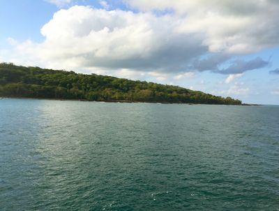
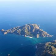
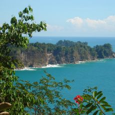
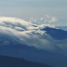
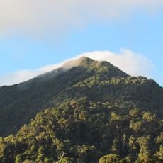
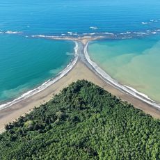
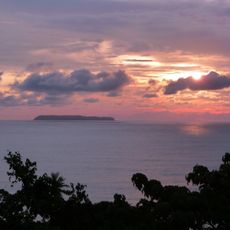
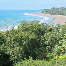
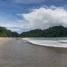
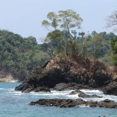
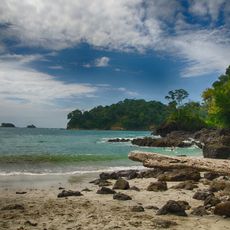
The Osa Peninsula extends into the Pacific Ocean and is covered by dense rainforests along its eastern coast facing the Golfo Dulce. The terrain rises in places and features a complex coastline with headlands and sheltered bays.
The peninsula was formed through geological fault systems that extend northward across Central America and continue into California. This tectonic activity shaped the land over millions of years and remains part of the region's active geology.
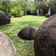
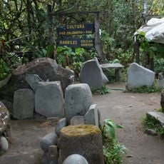
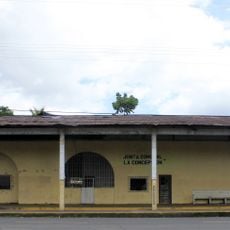
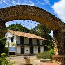
The Boruca people shaped this region for centuries and their presence remains visible in local craftsmanship and traditional settlements throughout the area. Visitors can encounter this heritage in Puerto Jimenez and nearby communities where indigenous practices continue.
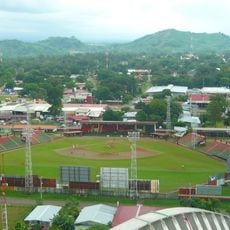
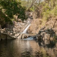
Puerto Jimenez serves as the main gateway with airport facilities and roads connecting to other coastal settlements. The dry season offers better conditions for exploring, as rainfall is lighter and trails are more accessible.
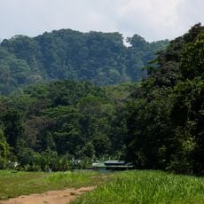
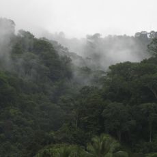
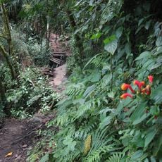
The area around Corcovado National Park holds about half of all animal species found in Costa Rica, including around 400 bird species and numerous mammals. This exceptional biodiversity concentration makes the region one of the most biologically rich places on Earth.
The community of curious travelers
AroundUs brings together thousands of curated places, local tips, and hidden gems, enriched daily by 60,000 contributors worldwide.