Aguazul, Municipality in Casanare Department, Colombia
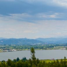
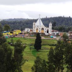
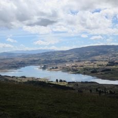
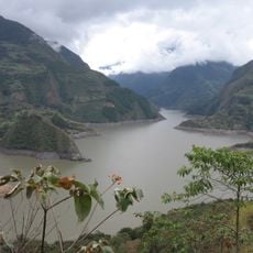
Aguazul is a municipality in the Casanare region of eastern Colombia, situated on relatively flat terrain at moderate elevation. The landscape is dominated by farmland, pastures, and oil fields that form the economic backbone of the area.
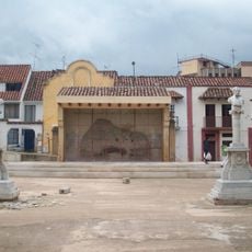
The municipality was founded in 1954 and was originally known by a different name before adopting its current identity. It grew as a key junction for cattle trade routes connecting inland areas to major market centers.
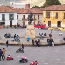
The town's identity is closely tied to agriculture and cattle ranching, which shape the daily activities and local markets. This economic foundation influences how residents interact with their surroundings and organize their community life.
The town is accessible by road and offers basic services in a rural setting. It's helpful to plan transportation in advance, as public transit options are limited in this part of the country.
The area is known for significant oil reserves in the Cupiagua and Cusiana fields that have shaped its economic development. These resources have influenced local infrastructure and community growth for many years.
Location: Casanare Department
Inception: April 5, 1954
Elevation above the sea: 313 m
Shares border with: Yopal
Website: http://aguazul-casanare.gov.co
GPS coordinates: 5.16889,-72.54667
Latest update: December 7, 2025 10:08
Playa Blanca
60.2 km
Vargas Swamp Lancers
86.2 km
Cárcel de Cómbita
97.7 km
Pisba National Natural Park
80.3 km
Hunzahúa Well
99.5 km
Embalse de Chivor
89.9 km
Ocetá Páramo
66.5 km
Cathedral Basilica of St. James the Apostle, Tunja
99 km
Sochagota Lake
91.9 km
Sun Temple
73.3 km
Plaza de Bolívar
99 km
Archaeology Museum
73.3 km
La pila del mono
99.5 km
Morcá
72.5 km
Embalse de La Copa
87.3 km
Paredón de los Mártires
99 km
Cojines del Zaque
99.5 km
St. Lawrence Cathedral, Duitama
91.1 km
Iglesia de Firavitoba
74.4 km
Monumento a la Raza Indígena
99.5 km
Santiago de las Atalayas Stadium
25.2 km
Plaza Real de Tunja
99.5 km
La Esmeralda Dam
88.4 km
Bosque de la República
99.5 km
Palacio de la Torre
99.5 km
Columna a los mártires
99.5 km
Natural Reserve "Old Pueblito"
62.9 km
Plaza de Toros La Pradera
75.3 kmReviews
Visited this place? Tap the stars to rate it and share your experience / photos with the community! Try now! You can cancel it anytime.
Discover hidden gems everywhere you go!
From secret cafés to breathtaking viewpoints, skip the crowded tourist spots and find places that match your style. Our app makes it easy with voice search, smart filtering, route optimization, and insider tips from travelers worldwide. Download now for the complete mobile experience.
A unique approach to discovering new places❞
— Le Figaro
All the places worth exploring❞
— France Info
A tailor-made excursion in just a few clicks❞
— 20 Minutes