Santa Cruz Canton, Administrative canton in Guanacaste Province, Costa Rica
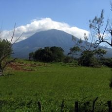
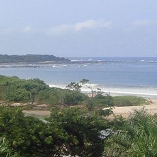
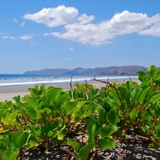
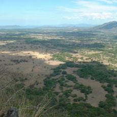
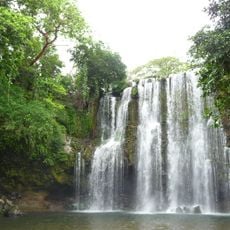
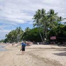
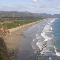
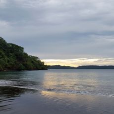
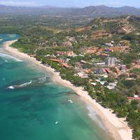
Santa Cruz Canton is an administrative division in Guanacaste Province that spans across a large territory and encompasses nine districts, including the area around Tamarindo. The territory extends from Potrero Bay to the Montaña River and connects various communities and coastal sections.
The area became an official canton through a decree on December 7, 1848, and this marked an important step in how Costa Rica organized its territories. This administrative establishment helped shape how the Guanacaste region developed and was managed.
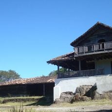
The area hosts festivals where locals participate in traditional bull events, and visitors can observe how these practices remain part of community life. Such celebrations reveal how people here connect with their regional customs.
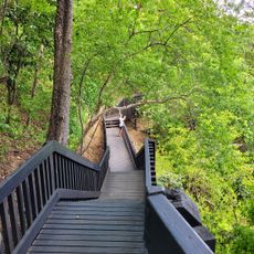
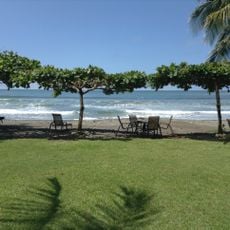
The region connects to other parts of Costa Rica through national roads, making it easier to travel across the Nicoya Peninsula. Exploring on foot or with your own transport is helpful for visiting the different districts.
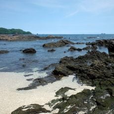
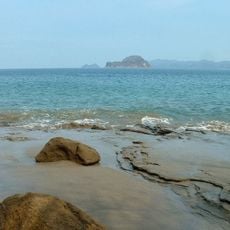
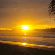
The territory includes Velas Cape, which marks the westernmost point of the entire Nicoya Peninsula. This geographical extremity is a rarely visited spot that offers hikers and nature enthusiasts special views.
Location: Guanacaste Province
Capital city: Santa Cruz
Elevation above the sea: 98 m
Shares border with: Carrillo Canton, Bagaces Canton, Nicoya Canton
Website: http://santacruz.go.cr
GPS coordinates: 10.26667,-85.65000
Latest update: December 7, 2025 19:28
Rincón de la Vieja Volcano
71.6 km
Hacienda Santa Rosa
63.3 km
Puente La Amistad de Taiwán
44.3 km
Las Baulas National Marine Park
24.2 km
Santa Rosa National Park
70 km
Volcán Tenorio
82.9 km
Orosí Volcano
81.7 km
Palo Verde National Park
38.6 km
Rincón de la Vieja National Park
72.2 km
Playa Negra
21.3 km
Guanacaste National Park
72.2 km
Ostional Wildlife Refuge
34.7 km
Church of Saint Blaise of Nicoya
25.4 km
Playa Conchal
23.1 km
Area de Conservación Guanacaste World Heritage Site
65 km
Barra Honda National Park
36.2 km
Estadio Asociación Cívica Jicaraleña
67.5 km
Miravalles National Park
77 km
Junquillal Bay Wildlife Refuge
78 km
Llanos de Cortés Waterfall
48 km
Playa Virador
38.8 km
Samara Beach
46 km
Tamarindo Beach
21.5 km
Playa San Miguel
62.9 km
Playa La Islita
53.5 km
Playa Arenilla
37.4 km
Rio Celeste
82.8 kmVisited this place? Tap the stars to rate it and share your experience / photos with the community! Try now! You can cancel it anytime.
Discover hidden gems everywhere you go!
From secret cafés to breathtaking viewpoints, skip the crowded tourist spots and find places that match your style. Our app makes it easy with voice search, smart filtering, route optimization, and insider tips from travelers worldwide. Download now for the complete mobile experience.
A unique approach to discovering new places❞
— Le Figaro
All the places worth exploring❞
— France Info
A tailor-made excursion in just a few clicks❞
— 20 Minutes