Enable Location

We need your location to show you interesting places around you

Discover nearby places

Find interesting locations and hidden gems around you

Precise directions

Get accurate directions and distances to places

Your location is never shared with other users. It's only used when you tap the location button.

Tlalpan

Log in to your account

Start exploring — it's free

Trusted by 61,553 travelers worldwide

Continue with Google
Continue with Apple
or

We will send you a code to connect

By continuing, you accept our Terms and Conditions and our Privacy Policy

Check your inbox

We've sent a pincode in your inbox. Please enter the code below.

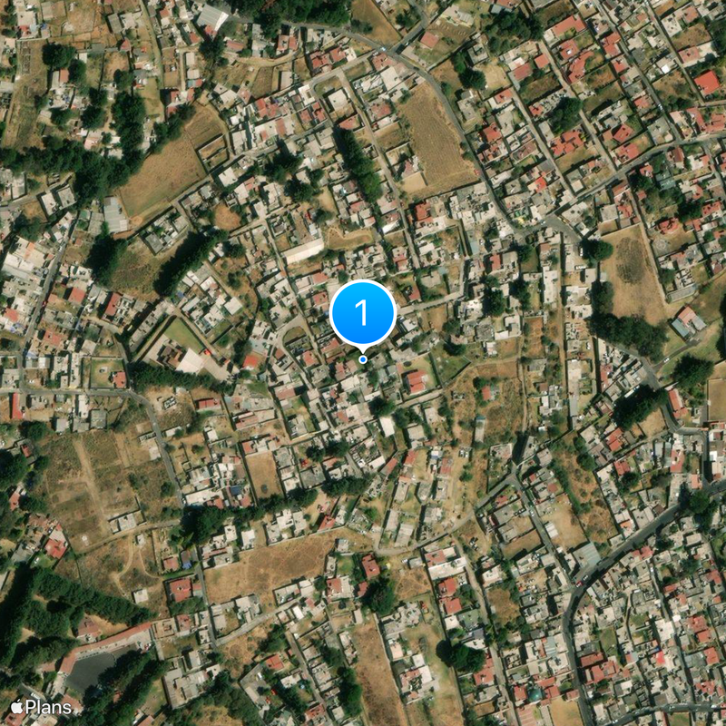
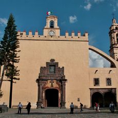
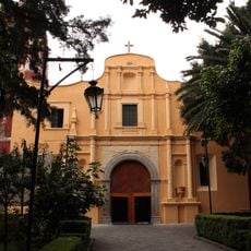
Tlalpan, Large administrative district in Mexico City, Mexico

Description

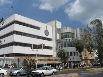
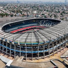
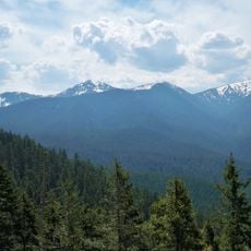
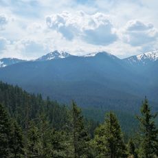
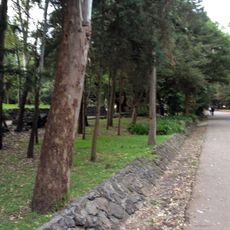
Tlalpan is an administrative district in the southern part of Mexico City, stretching from the urban center to forested mountain slopes. The borough combines residential neighborhoods with parks, schools, and large conservation areas covered in pine and oak forests.

History

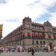
In the late 1820s this place served as the capital of the State of Mexico under the name San Agustín de las Cuevas. Later it became part of the growing metropolis while keeping large forest areas within its territory.

Culture

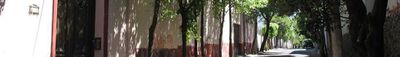
The name comes from the Nahuatl word for sandy or earthy ground, describing the original landscape here. Today you see small shops and markets scattered among the neighborhoods where families do their shopping and gather on weekends.

Practical

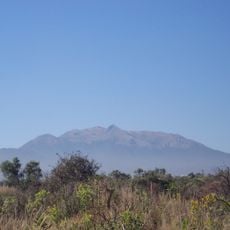
Visitors planning to explore this area should prepare for varying elevations and temperatures, as the mountain forests are cooler than the city center. Most natural areas are accessible via walking trails, though some steep sections require good footwear and fitness.

Did you know?

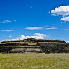
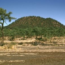
A large share of the capital's water supply comes from underground sources and wells located here in the southern mountains. Also found in this area is an ancient round pyramid from pre-colonial times that lay buried under volcanic ash until archaeologists uncovered it.

Location
Elevation above the sea
2,294 m
Address
Francisco I. Madero 10, Tlalpan Centro I, Tlalpan, 14000 Ciudad de México, CDMX, Mexico
Opening Hours
Poniedziałek 09:00-20:00; Wtorek-Sobota 09:00-21:30; Niedziela 09:00-20:00
GPS coordinates
19.22694,-99.20583
Latest update
December 13, 2025 10:19

AroundUs brings together thousands of curated places, local tips, and hidden gems, enriched daily by 60,000 contributors worldwide. Discover all places nearby (Mexico City).

Historic and cultural sites in Mexico City

Mexico City weaves together Aztec and Spanish colonial history through monuments, museums, and archaeological sites spread across the metropolis. The National Palace displays Diego Rivera's murals depicting Mexican history, while Chapultepec Castle provides views over the sprawling urban landscape....

« Tlalpan - Large administrative district in Mexico City, Mexico » is provided by Around Us (aroundus.com). Images and texts are derived from Wikimedia project under a Creative Commons license. You are allowed to copy, distribute, and modify copies of this page, under the conditions set by the license, as long as this note is clearly visible.

Discover hidden gems everywhere you go!

From secret cafés to breathtaking viewpoints, skip the crowded tourist spots and find places that match your style. Our app makes it easy with voice search, smart filtering, route optimization, and insider tips from travelers worldwide. Download now for the complete mobile experience.

Around Us App Screenshot

A unique approach to discovering new places

Le Figaro

All the places worth exploring

France Info

A tailor-made excursion in just a few clicks

20 Minutes

Around Us
Travel Guide & Maps
Download

Send to your phone

QR Code
1

Open the camera app on your mobile.

2

Point at the QR code with your camera. A notification will appear.

3

Tap the notification to open the link.