Camino Real, Historical trade route in Yucatán and Campeche, Mexico
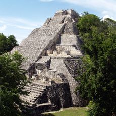
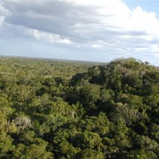
Camino Real is a historical road network extending through southeastern Mexico in Yucatán and Campeche, connecting multiple settlements across the region. The route follows some ancient paths and was later developed during colonial times to support trade and administration.
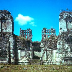
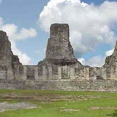
The road network developed during Spanish colonization in the 16th century as the main transportation corridor for goods and administration between settlements. Its expansion was closely tied to Spanish control spreading across the peninsula.
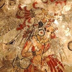
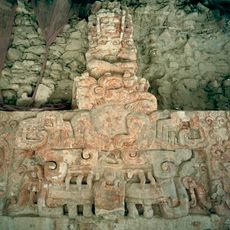
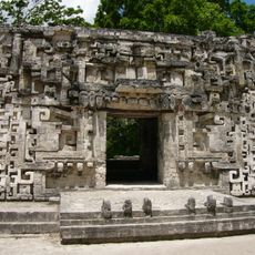
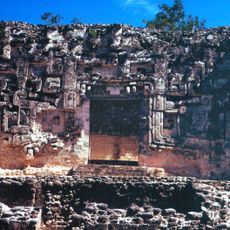
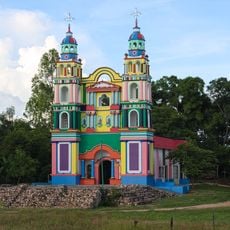
The routes connected indigenous settlements with Spanish colonial centers, enabling the exchange of crafts, languages, and customs between different peoples. Today the names of villages and the ways people travel still reflect this historical mixing of cultures.
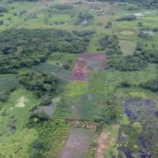
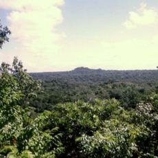
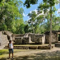
The route can be explored in various ways, partly via modern roads and partly via preserved old sections. Visitors should check which parts are most accessible and where museums or archaeological sites provide information about its history.
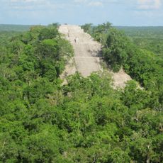
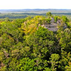
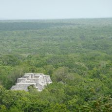
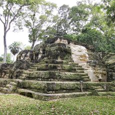
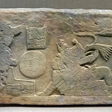
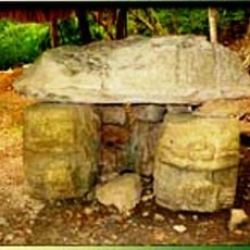
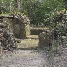
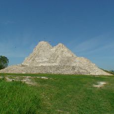
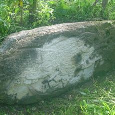
Following the route means treading in the footsteps of merchants, missionaries, and officials who formed the backbone of the peninsula for centuries. These everyday travelers left less visible traces in monuments and village layouts that remain visible today.
The community of curious travelers
AroundUs brings together thousands of curated places, local tips, and hidden gems, enriched daily by 60,000 contributors worldwide.