Chest opened
+${chestReward.xp} XP
Explorer
NOUVEAU ×${chestReward.collectible.quantity}
tapez pour fermer

See the monuments around you in AR Open chests in the app

Around Us is built for your phone — point your camera at the streets and discover the monuments and places around you in augmented reality. Around Us is built for your phone — chests unlock when you walk, explore and capture nearby places.

Enable Location

We need your location to show you interesting places around you

Discover nearby places

Find interesting locations and hidden gems around you

Precise directions

Get accurate directions and distances to places

Your location is never shared with other users. It's only used when you tap the location button.

Log in to your account

Start exploring — it's free

Trusted by 86,342 travelers worldwide

Continue with Google
Continue with Apple
or

We will send you a code to connect

By continuing, you accept our Terms and Conditions and our Privacy Policy

Check your inbox

We've sent a pincode in your inbox. Please enter the code below.

Discussion Reviews Photo
9.3k Popularity

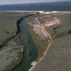
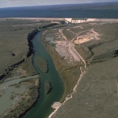
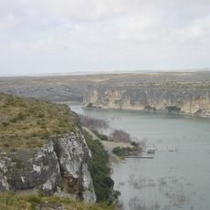
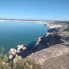
Amistad Dam, Hydroelectric power station at Rio Grande border, United States and Mexico.

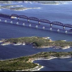
Amistad Dam is a hydroelectric structure on the Rio Grande border between the United States and Mexico, built with concrete gravity cores and earth embankments. The installation spans about 3 kilometers and creates a large water reservoir that both nations share.

The project started in 1963 as part of an international water-sharing agreement between the two nations. In 1969, US President Richard Nixon and Mexican President Gustavo Díaz Ordaz formally dedicated the completed facility.

The name means 'friendship' in Spanish and reflects the cross-border cooperation that emerged during construction. Both nations today share control of this reservoir and use it to meet irrigation and power needs.

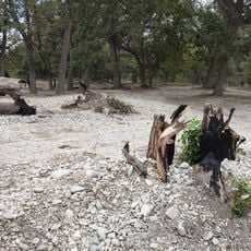
Visiting the dam requires preparation for hot, dry climate and limited shade at public viewing areas. Bring plenty of water and sun protection, especially during warmer months.

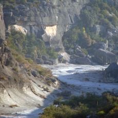
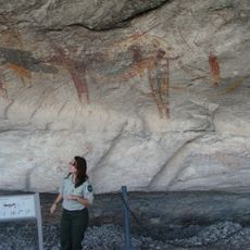
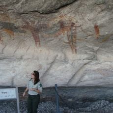
Archaeologists documented roughly 170 indigenous sites with rock art and artifacts before the reservoir flooded the landscape. This rescue archaeology effort showed the area's significance for the region's original inhabitants.

The community of curious travelers

AroundUs brings together thousands of curated places, local tips, and hidden gems, enriched daily by 60,000 contributors worldwide.

Start exploring
Location
Inception
1969
Elevation above the sea
353 m
Length
2,975 m
Operator
International Boundary and Water Commission
GPS coordinates
29.44951,-101.05591
Latest update
September 11, 2026 23:40
Around this place
Amistad Reservoir
Mexico

Amistad Reservoir

0.1 mi
Seminole Canyon State Park and Historic Site
United States of America

Seminole Canyon State Park and Historic Site

22.6 mi
Amistad National Recreation Area
United States of America

Amistad National Recreation Area

1 mi
Los Novillos National Park
Mexico

Los Novillos National Park

14.8 mi
Del Río – Ciudad Acuña International Bridge
Mexico

Del Río – Ciudad Acuña International Bridge

11.5 mi
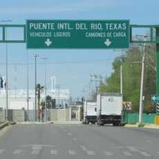
Lake Amistad Dam International Crossing
United States of America

Lake Amistad Dam International Crossing

0.1 mi
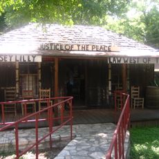
Whitehead Memorial Museum
United States of America

Whitehead Memorial Museum

11.7 mi
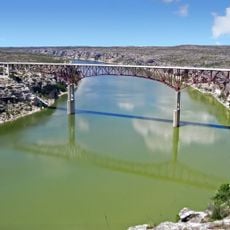
Pecos River Bridge
United States of America

Pecos River Bridge

25.3 mi
Fate Bell Shelter
United States of America

Fate Bell Shelter

23.2 mi
Lower Pecos Canyonlands Archeological District
United States of America

Lower Pecos Canyonlands Archeological District

23.2 mi
Seminole Canyon District
United States of America

Seminole Canyon District

23.2 mi
United States of America

Seminole Canyon Visitor Center

23.2 mi
Pecos River Boat Dock
United States of America

Pecos River Boat Dock

25.4 mi
Amistad Visitor Center
United States of America

Amistad Visitor Center

4.2 mi
United States of America

White Shaman Preserve

24.6 mi
Mexico

Alberca Y Chapoteadero Las Palmas

11.2 mi
Mexico

Playa Tlaloc

3.8 mi
United States of America

Scenic viewpoint

25.2 mi
United States of America

Beech UC-45J Expeditor

16.5 mi
United States of America

Beech T-34B Mentor

16.6 mi
United States of America

Lockheed T-33A

16.6 mi
United States of America

Lockheed U-2C

16.6 mi
United States of America

North American T-6 Texan

16.6 mi
United States of America

North American T-28A Trojan

16.6 mi
United States of America

Martin EB-57B Canberra

16.6 mi
United States of America

Douglas A-26C Invader

16.7 mi
United States of America

Northrop T-38A Talon

17.3 mi
United States of America

Cessna T-37B Tweet

17.3 mi
Show the full map
Reviews
Share your experience

No review yet

Discussions
Start a discussion...

No discussion yet

« Amistad Dam - Hydroelectric power station at Rio Grande border, United States and Mexico » is provided by Around Us (aroundus.com). Images and texts are derived from Wikimedia project under a Creative Commons license. You are allowed to copy, distribute, and modify copies of this page, under the conditions set by the license, as long as this note is clearly visible.

Discover hidden gems everywhere you go!

From secret cafés to breathtaking viewpoints, skip the crowded tourist spots and find places that match your style. Our app makes it easy with voice search, smart filtering, route optimization, and insider tips from travelers worldwide. Download now for the complete mobile experience.

Around Us App Screenshot

A unique approach to discovering new places

Le Figaro

All the places worth exploring

France Info

A tailor-made excursion in just a few clicks

20 Minutes

Around Us
Travel Guide & Maps
Download

Send to your phone

QR Code
1

Open the camera app on your mobile.

2

Point at the QR code with your camera. A notification will appear.

3

Tap the notification to open the link.