Chest opened
+${chestReward.xp} XP
Explorer
NOUVEAU ×${chestReward.collectible.quantity}
tapez pour fermer
Chest locked

Open chests in the app

Around Us is built for your phone — chests unlock when you walk, explore and capture nearby places.

Enable Location

We need your location to show you interesting places around you

Discover nearby places

Find interesting locations and hidden gems around you

Precise directions

Get accurate directions and distances to places

Your location is never shared with other users. It's only used when you tap the location button.

Pecos River

Log in to your account

Start exploring — it's free

Trusted by 72,888 travelers worldwide

Continue with Google
Continue with Apple
or

We will send you a code to connect

By continuing, you accept our Terms and Conditions and our Privacy Policy

Check your inbox

We've sent a pincode in your inbox. Please enter the code below.

Pecos River
Discussion Reviews 6 Photos
59.6k Popularity

Pecos River, Major river tributary in New Mexico and Texas, United States

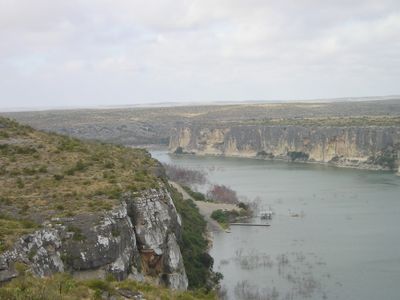
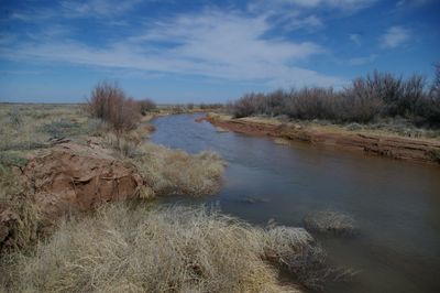
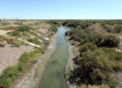
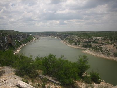
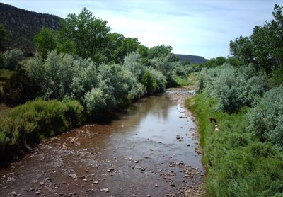
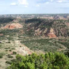
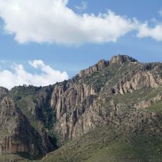
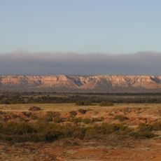
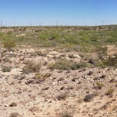
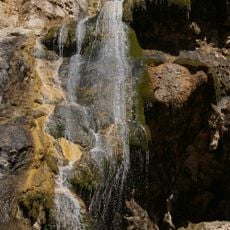
The Pecos River begins in the Sangre de Cristo Mountains of northern New Mexico and flows 926 miles (about 1,490 kilometers) south to meet the Rio Grande near Del Rio in Texas. Along its course it crosses dry plateaus and deep canyons, passing rock walls and sparse grasslands.

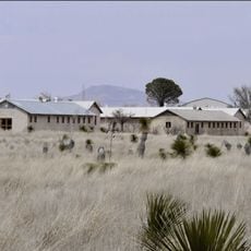
Spanish explorer Francisco Vázquez de Coronado crossed the river in 1541 as the first European during his expedition north. In later centuries, trade routes and settlements of cowboys and ranchers grew along its banks.

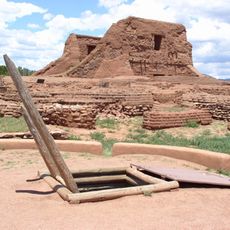
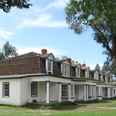
The river takes its name from the Keresan-speaking people of Pecos Pueblo who settled along its course around 800 AD. Their communities shaped life along the banks for centuries.

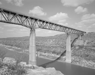
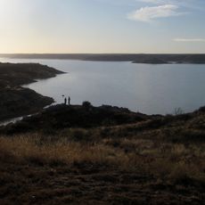
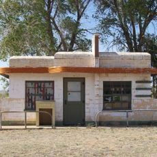
Several reservoirs along the course, including Santa Rosa Lake and Red Bluff Dam, supply irrigation water to farmlands in both states. Most access points to the banks are in remote areas and require a vehicle to reach them.

The Pecos River Flume near Carlsbad, New Mexico, built in 1889, is a concrete aqueduct that carries irrigation water across the river. It stands as one of the few remaining water engineering structures of this type in the American Southwest.

The community of curious travelers

AroundUs brings together thousands of curated places, local tips, and hidden gems, enriched daily by 60,000 contributors worldwide.

Start exploring
Location
Location
GPS coordinates
35.97367,-105.55878
Latest update
December 13, 2025 19:22
Around this place
Carlsbad Caverns National Park
United States of America

Carlsbad Caverns National Park

435.1 km
Prada Marfa
United States of America

Prada Marfa

605.6 km
Cadillac Ranch
United States of America

Cadillac Ranch

335 km
Palo Duro Canyon
United States of America

Palo Duro Canyon

370.8 km
Guadalupe Peak
United States of America

Guadalupe Peak

459 km
Waste Isolation Pilot Plant
United States of America

Waste Isolation Pilot Plant

414.8 km
Lechuguilla Cave
United States of America

Lechuguilla Cave

432.2 km
Guadalupe Mountains National Park
United States of America

Guadalupe Mountains National Park

456.1 km
New Mexico Military Institute
United States of America

New Mexico Military Institute

300.7 km
Jones AT&T Stadium
United States of America

Jones AT&T Stadium

428.8 km
Fort Sumner
United States of America

Fort Sumner

214.5 km
Trementina Base
United States of America

Trementina Base

102.2 km
Bottomless Lakes State Park
United States of America

Bottomless Lakes State Park

316.1 km
McDonald Observatory
United States of America

McDonald Observatory

607.3 km
Balmorhea State Park
United States of America

Balmorhea State Park

583.6 km
Caprock Escarpment
United States of America

Caprock Escarpment

179.7 km
United States of America

American Quarter Horse Hall of Fame

350.4 km
Ratliff Stadium
United States of America

Ratliff Stadium

538.9 km
Pecos National Historical Park
United States of America

Pecos National Historical Park

48.6 km
Cibolo Creek Ranch
United States of America

Cibolo Creek Ranch

689.9 km
Odessa Meteor Crater
United States of America

Odessa Meteor Crater

549 km
Chinati Foundation
United States of America

Chinati Foundation

647.6 km
Lake Meredith
United States of America

Lake Meredith

362.6 km
Fort Stanton
United States of America

Fort Stanton

275.8 km
Glenrio
United States of America

Glenrio

244.4 km
Sitting Bull Falls
United States of America

Sitting Bull Falls

422.6 km
Monahans Sandhills State Park
United States of America

Monahans Sandhills State Park

543.9 km
Davis Mountains State Park
United States of America

Davis Mountains State Park

617.4 km
Show the full map
Reviews
Share your experience

No review yet

Discussions
Start a discussion...

No discussion yet

« Pecos River - Major river tributary in New Mexico and Texas, United States » is provided by Around Us (aroundus.com). Images and texts are derived from Wikimedia project under a Creative Commons license. You are allowed to copy, distribute, and modify copies of this page, under the conditions set by the license, as long as this note is clearly visible.

Discover hidden gems everywhere you go!

From secret cafés to breathtaking viewpoints, skip the crowded tourist spots and find places that match your style. Our app makes it easy with voice search, smart filtering, route optimization, and insider tips from travelers worldwide. Download now for the complete mobile experience.

Around Us App Screenshot

A unique approach to discovering new places

Le Figaro

All the places worth exploring

France Info

A tailor-made excursion in just a few clicks

20 Minutes

Around Us
Travel Guide & Maps
Download

Send to your phone

QR Code
1

Open the camera app on your mobile.

2

Point at the QR code with your camera. A notification will appear.

3

Tap the notification to open the link.