Francisco Beltrão, Municipality in Paraná, Brazil
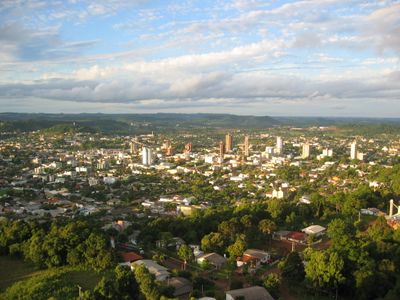
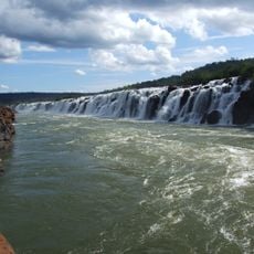
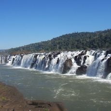
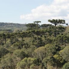
Francisco Beltrão sits in a valley with elevations ranging from 550 meters (1,800 feet) in the downtown area to 950 meters (3,100 feet) in the surrounding regions. The Rio Marrecas flows through this landscape, shaping the local geography.
The city was founded in 1952 and grew from a settlement of Italian and German immigrants who arrived in Southern Brazil between 1940 and 1960. This wave of migration shaped the development and character of the municipality.
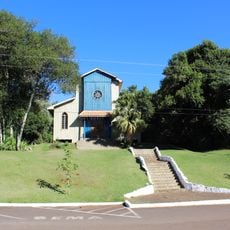
The city bears the mark of its residents through architecture and traditions shaped by Italian and German families. You can see this cultural blend in local festivals, restaurants, and crafts that visitors still experience today.
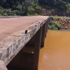
Paulo Abdala Airport connects the city to other regions and serves as an important transportation hub. About 85 percent of the population lives in urban areas, making most services and amenities easily accessible to visitors.
The city experiences rare snow events about twice per decade, with documented snowfalls in 1955, 1965, 1975, and 2007. These unexpected winter events in a region with subtropical climate regularly surprise both residents and visitors.
The community of curious travelers
AroundUs brings together thousands of curated places, local tips, and hidden gems, enriched daily by 60,000 contributors worldwide.