Laguna de los Pozuelos natural monument, Natural monument lake in Jujuy Province, Argentina.
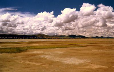
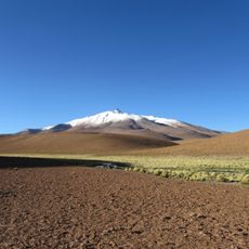
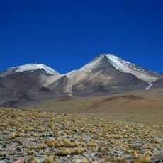
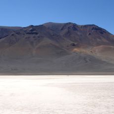
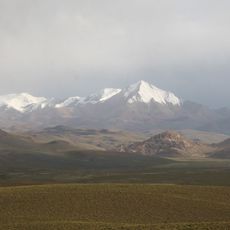
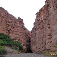
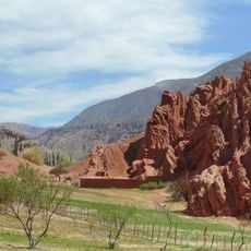
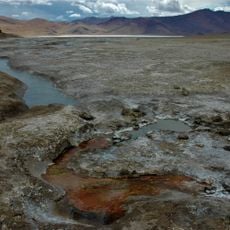
Laguna de los Pozuelos is a saline lake occupying a large area in the Puna high plateau at roughly 3,600 meters elevation, surrounded by mountain ridges. Water levels fluctuate seasonally, creating different conditions throughout the year.
The lake gained legal protection in 1980 through provincial legislation, marking its initial recognition as an important site. In 1990, it received UNESCO Biosphere Reserve status, giving it international standing.
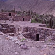
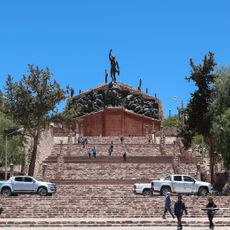
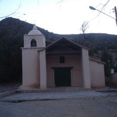
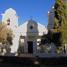
The high-altitude communities here practice herding traditions that have adapted to life in the Puna region for generations. Visitors can observe how local people interact with this harsh environment and maintain their way of life.
The best time to visit is between March and April when large bird groups arrive and conditions are easier for exploration. Access is free, but visitors should prepare for extreme elevation, cold temperatures, and rough terrain.
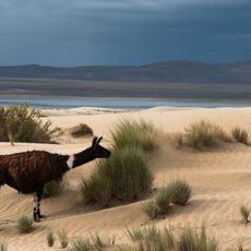
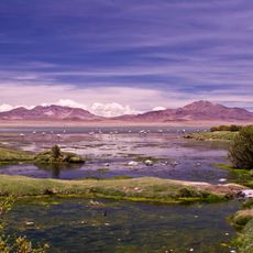
The lake attracts thousands of flamingos and shorebirds annually, drawn by food sources and resting areas found nowhere else in the region. It is one of the few places where all three South American flamingo species can be seen together.
Location: Jujuy Province
Elevation above the sea: 3,635 m
GPS coordinates: -22.35000,-66.00000
Latest update: December 6, 2025 16:02
Northwest Argentina is a region where deserts, wine regions and Andean valleys coexist. Salt flats, striking rock formations, pre-Columbian sites and traditional mountain villages define this landscape. The terrain shifts between bare highlands, colorful mountain ranges and green valleys where small...
Quebrada de Humahuaca
115.8 km
Pucará de Tilcara
150.9 kmBaritú National Park
144.7 km
Monument to the Heroes of Independence
116.1 km
Reserva de biosfera de Yungas
125.6 km
Cerro Zapaleri
131.9 km
Cordillera de Sama Biological Reserve
139.4 km
Uturuncu
122.6 km
Casa Dorada, Tarija
159.3 km
Tarija Cathedral
159.1 km
Horacio Guzmán International Bridge
50.3 km
Cabildo de Humahuaca
116.2 km
Cerro Panizos
81.1 km
Salar Aguas Calientes I
168.6 km
Capilla de la Inmaculada Concepción
137.4 km
Cerro Lípes
103.3 km
Nevados de Poquis
130.8 km
Bolivian National Observatory at Tarija
165 km
Luru Mayu
114.7 km
Sanawrya
160.8 km
Camataqui Municipality
167.6 km
Magical
109.1 km
Paseo de los Colorados
164 km
Cerro Galán
57.4 km
Humahuaca Cathedral
116.2 km
Capilla de Purmamarca
163.7 km
Capilla de Tilcara
150.2 km
Garganta Del Diablo
152.6 kmVisited this place? Tap the stars to rate it and share your experience / photos with the community! Try now! You can cancel it anytime.
Discover hidden gems everywhere you go!
From secret cafés to breathtaking viewpoints, skip the crowded tourist spots and find places that match your style. Our app makes it easy with voice search, smart filtering, route optimization, and insider tips from travelers worldwide. Download now for the complete mobile experience.
A unique approach to discovering new places❞
— Le Figaro
All the places worth exploring❞
— France Info
A tailor-made excursion in just a few clicks❞
— 20 Minutes