
Playa La Concepción, Strand in Kolumbien
Location: Cauca Department
Elevation above the sea: 13 m
GPS coordinates: 2.88306,-77.67944
Latest update: May 12, 2025 04:19
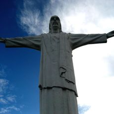
Christ the King statue
139.6 km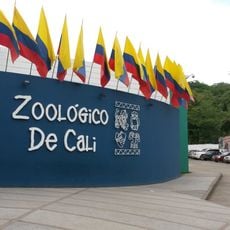
Cali Zoo
139.6 km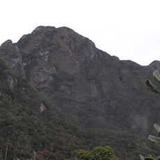
Farallones de Cali National Natural Park
121.5 km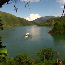
Lake Salvajina
109.2 km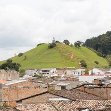
Morro del Tulcán
129.1 km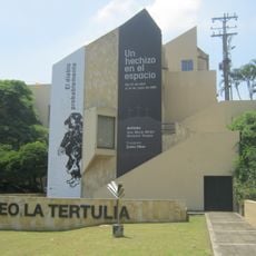
La Tertulia Museum
141 km
Uramba Bahía Málaga National Natural Park
128.5 km
Santo Ecce Homo de Popayán
129.9 km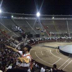
Plaza de Toros Cañaveralejo
138.7 km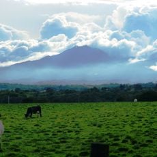
Munchique National Natural Park
69.3 km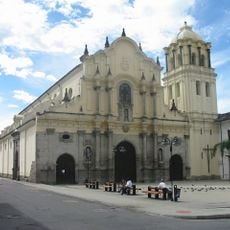
Saint Francis of Assisi Church
128.8 km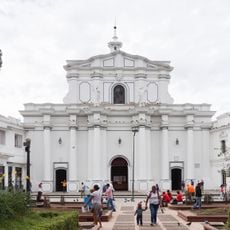
Cathedral Basilica of Our Lady of the Assumption, Popayán
129 km
Parque Caldas
129 km
Biblioteca Departamental Jorge Garcés Borrero
140.9 km
Sanquianga National Natural Park
72.3 km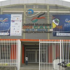
Coliseo Evangelista Mora
140.5 km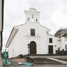
Ermita de Jesús Nazareno
128.8 km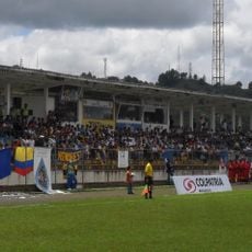
Estadio Ciro López
130 km
Caliwood museum
140.8 km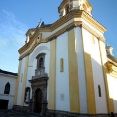
Iglesia de San José
128.9 km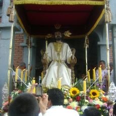
Amo Jesús de Puelenje
127.3 km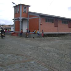
Puelenje
127.4 km
House of Adoration North of Cauca
140.8 km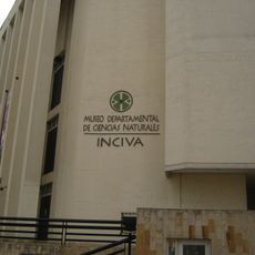
Federico Carlos Lehman Museum of Natural Sciences
140.9 km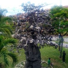
Árbol de la Vida (Monument)
138.1 km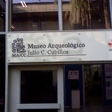
Museo Arqueológico Julio Cesar Cubillos
138.6 km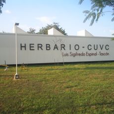
Herbario Luis Sigifredo Espinal Tascón
138.7 km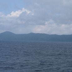
Gorgona Island National Park
56.5 kmReviews
Visited this place? Tap the stars to rate it and share your experience / photos with the community! Try now! You can cancel it anytime.
Discover hidden gems everywhere you go!
From secret cafés to breathtaking viewpoints, skip the crowded tourist spots and find places that match your style. Our app makes it easy with voice search, smart filtering, route optimization, and insider tips from travelers worldwide. Download now for the complete mobile experience.

A unique approach to discovering new places❞
— Le Figaro
All the places worth exploring❞
— France Info
A tailor-made excursion in just a few clicks❞
— 20 Minutes