
Sixaola, district in Talamanca canton, Limón province, Costa Rica
Location: Talamanca Canton
Inception: February 19, 1970
Elevation above the sea: 10 m
GPS coordinates: 9.55790,-82.66978
Latest update: March 7, 2025 10:44
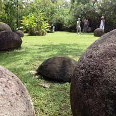
Stone spheres of Costa Rica
114.3 km
Volcan Baru
84.5 km
Cerro Chirripó
90.3 km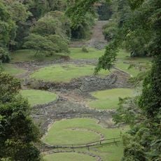
Guayabo National Monument
121.2 km
La Amistad International Park
33.8 km
Cerro de la Muerte
119.3 km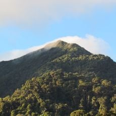
Volcán Barú National Park
81.6 km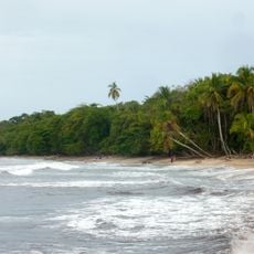
Cahuita National Park
25.6 km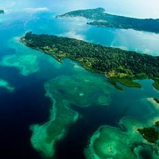
Bastimentos Island National Marine Park
64.9 km
Chirripó National Park
89.4 km
Talamanca Reserve
34 km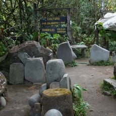
Barriles
84.4 km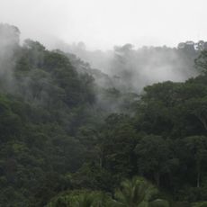
Piedras Blancas National Park
115.5 km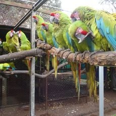
The Ara Project
7.7 km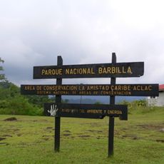
Barbilla National Park
92.8 km
Cerro Ventisqueros
92.7 km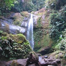
Volio Waterfall
24 km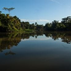
Río Parismina
110 km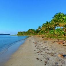
Starfish Beach
41.5 km
Puerto Limón Lighthouse
61.5 km
Lucero Golf Country Club
97.9 km
Talamanca Range-La Amistad Reserves
34 km
Antigua Estación del Ferrocarril de Bugaba
116.1 km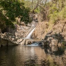
The Lost Waterfalls
82.4 km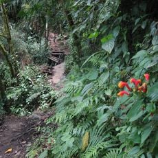
Sendero Los Quetzales
80.8 km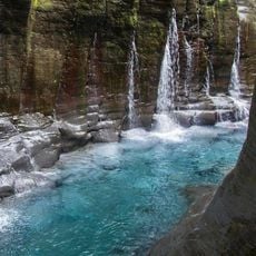
Macho de Monte Cascadas
97.3 km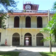
Gobernación de Bocas del Toro
53 km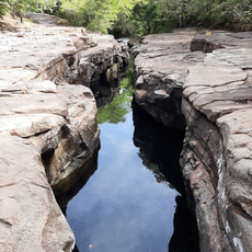
Los Cangilones de Gualaca
120 kmReviews
Visited this place? Tap the stars to rate it and share your experience / photos with the community! Try now! You can cancel it anytime.
Discover hidden gems everywhere you go!
From secret cafés to breathtaking viewpoints, skip the crowded tourist spots and find places that match your style. Our app makes it easy with voice search, smart filtering, route optimization, and insider tips from travelers worldwide. Download now for the complete mobile experience.

A unique approach to discovering new places❞
— Le Figaro
All the places worth exploring❞
— France Info
A tailor-made excursion in just a few clicks❞
— 20 Minutes