Enable Location

We need your location to show you interesting places around you

Discover nearby places

Find interesting locations and hidden gems around you

Precise directions

Get accurate directions and distances to places

Your location is never shared with other users. It's only used when you tap the location button.

California State Route 88

Log in to your account

Start exploring — it's free

Trusted by 68,107 travelers worldwide

Continue with Google
Continue with Apple
or

We will send you a code to connect

By continuing, you accept our Terms and Conditions and our Privacy Policy

Check your inbox

We've sent a pincode in your inbox. Please enter the code below.

California State Route 88
Discussion Reviews 1 Photos
16.6k Popularity

California State Route 88, highway in California

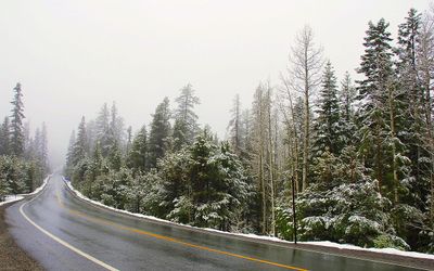
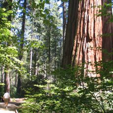
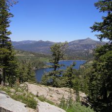
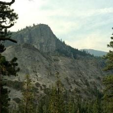
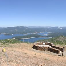
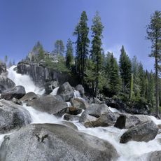
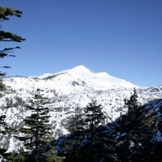
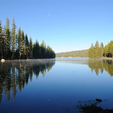
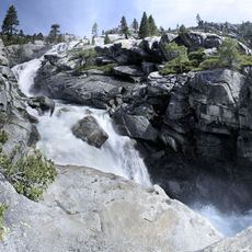
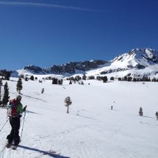
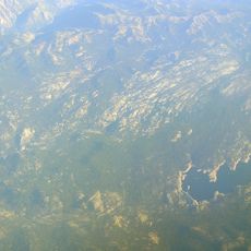
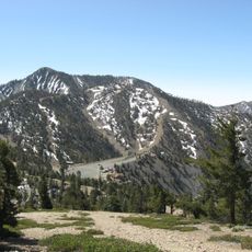
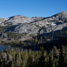
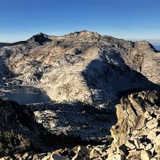
California State Route 88, also called the Carson Pass Highway, is a mountain road that stretches from near Stockton to the Nevada border across the Sierra Nevada. It runs through valleys with farms and orchards before climbing into the foothills and then up to high mountain passes over 7,000 feet (2,100 m) with views of snow-capped peaks and forests.

This route follows paths used for thousands of years by Washo and Miwok tribes for trade, later traveled by gold seekers during the Gold Rush in the 1850s. It was first built as a toll wagon road to connect mining towns and settlements, and has been improved multiple times over the decades to make travel safer and more reliable.

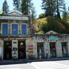
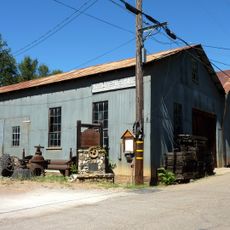
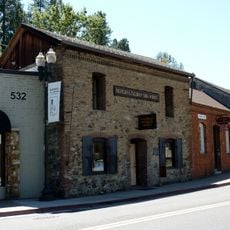
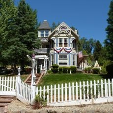
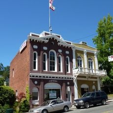
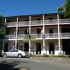
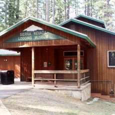
Route 88 passes through towns like Jackson and Volcano that grew during the Gold Rush and still show their mining heritage in old buildings and layouts. Travelers can see how these communities were shaped by miners and settlers, with historic structures that reflect the way people lived and worked in these mountains.

The highway remains open most of the year but can close in winter due to heavy snow or require snow chains on mountain passes. Travelers should start with a full fuel tank, bring warm clothing and water, and check road conditions before driving, especially in winter when avalanche control work may affect access.

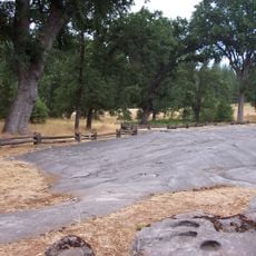
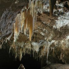
At Carson Pass stands the Kit Carson Marker where the famous explorer carved his name into a tree in 1844 during an expedition, a detail that marks an important moment in early exploration of the region. Along the route, early pioneers and travelers left their marks on rocks and trees, creating a timeline of passage that visitors can still see today.

The community of curious travelers

AroundUs brings together thousands of curated places, local tips, and hidden gems, enriched daily by 60,000 contributors worldwide.

Start exploring
Location
Location
GPS coordinates
38.54441,-120.37747
Latest update
February 17, 2026 02:01
Reviews
Share your experience

No review yet

Discussions
Start a discussion...

No discussion yet

« California State Route 88 - highway in California » is provided by Around Us (aroundus.com). Images and texts are derived from Wikimedia project under a Creative Commons license. You are allowed to copy, distribute, and modify copies of this page, under the conditions set by the license, as long as this note is clearly visible.

Discover hidden gems everywhere you go!

From secret cafés to breathtaking viewpoints, skip the crowded tourist spots and find places that match your style. Our app makes it easy with voice search, smart filtering, route optimization, and insider tips from travelers worldwide. Download now for the complete mobile experience.

Around Us App Screenshot

A unique approach to discovering new places

Le Figaro

All the places worth exploring

France Info

A tailor-made excursion in just a few clicks

20 Minutes

Around Us
Travel Guide & Maps
Download

Send to your phone

QR Code
1

Open the camera app on your mobile.

2

Point at the QR code with your camera. A notification will appear.

3

Tap the notification to open the link.