Chest opened
+${chestReward.xp} XP
Explorer
NOUVEAU ×${chestReward.collectible.quantity}
tapez pour fermer
Chest locked

Open chests in the app

Around Us is built for your phone — chests unlock when you walk, explore and capture nearby places.

Enable Location

We need your location to show you interesting places around you

Discover nearby places

Find interesting locations and hidden gems around you

Precise directions

Get accurate directions and distances to places

Your location is never shared with other users. It's only used when you tap the location button.

Smith River

Log in to your account

Start exploring — it's free

Trusted by 72,892 travelers worldwide

Continue with Google
Continue with Apple
or

We will send you a code to connect

By continuing, you accept our Terms and Conditions and our Privacy Policy

Check your inbox

We've sent a pincode in your inbox. Please enter the code below.

Smith River
Discussion Reviews 1 Photos
17.4k Popularity

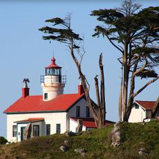
Smith River, River system in northwestern California, United States

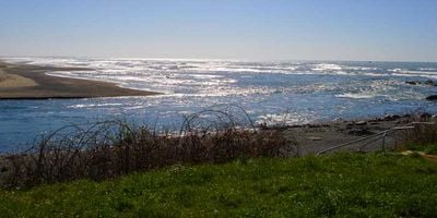
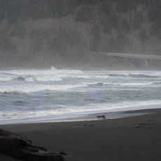
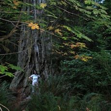
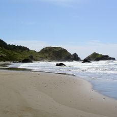
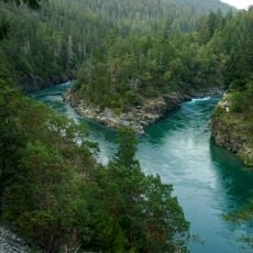
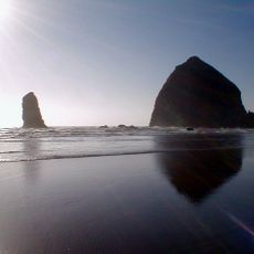
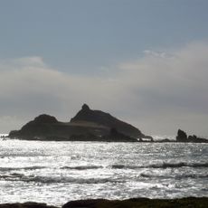
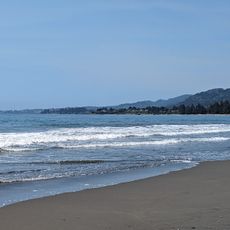
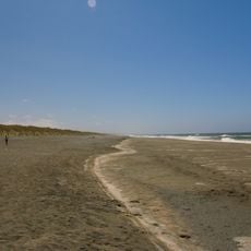
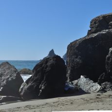
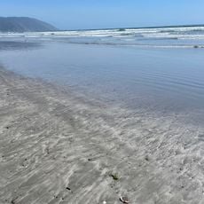
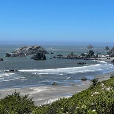
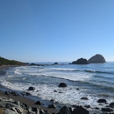
Smith River is a river system in northwestern California that flows through dense forests and canyons toward the Pacific Ocean. The waterway maintains its natural state throughout its course and reaches the ocean near Crescent City.

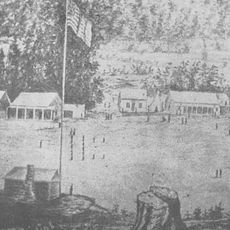
The river was named after explorer Jedediah Smith, who traveled through the region during his western expeditions in the early 1800s. This early European exploration helped shape how the area became known to the wider world.

The Tolowa people built their communities along these banks and crafted redwood canoes for travel. This deep connection between the Indigenous group and the river shaped the region's cultural identity.

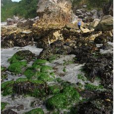
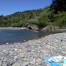
The river offers several recreational activities including steelhead fishing in winter months and salmon fishing at other times of the year. Visitors should check local conditions and plan their activities according to the fishing seasons.

This is California's only major river system without dams, maintaining completely natural water flows from source to sea. This distinction makes it ecologically important and sets it apart from most other large rivers in the state.

The community of curious travelers

AroundUs brings together thousands of curated places, local tips, and hidden gems, enriched daily by 60,000 contributors worldwide.

Start exploring
Location
GPS coordinates
41.93611,-124.20333
Latest update
December 7, 2025 19:24
Around this place
Redwood National and State Parks
United States of America

Redwood National and State Parks

46.9 km
Jedediah Smith Redwoods State Park
United States of America

Jedediah Smith Redwoods State Park

19.2 km
Del Norte Coast Redwoods State Park
United States of America

Del Norte Coast Redwoods State Park

31.2 km
St. George Reef Light
United States of America

St. George Reef Light

18.1 km
Lost Monarch
United States of America

Lost Monarch

18.9 km
Battery Point Light
United States of America

Battery Point Light

21.4 km
Harris Beach State Park
United States of America

Harris Beach State Park

16.9 km
Samuel H. Boardman State Scenic Corridor
United States of America

Samuel H. Boardman State Scenic Corridor

24 km
Smith River National Recreation Area
United States of America

Smith River National Recreation Area

35.1 km
Oregon Islands National Wildlife Refuge
United States of America

Oregon Islands National Wildlife Refuge

38.7 km
Castle Rock National Wildlife Refuge
United States of America

Castle Rock National Wildlife Refuge

19.8 km
Pelican State Beach
United States of America

Pelican State Beach

6.3 km
Thomas Creek Bridge
United States of America

Thomas Creek Bridge

28.6 km
Tolowa Dunes State Park
United States of America

Tolowa Dunes State Park

7.7 km
Alfred A. Loeb State Park
United States of America

Alfred A. Loeb State Park

19.7 km
Lone Ranch Beach
United States of America

Lone Ranch Beach

21.4 km
Camp Lincoln
United States of America

Camp Lincoln

14.1 km
Gasquet Ranger Station Historic District
United States of America

Gasquet Ranger Station Historic District

22.2 km
Crissey Field State Recreation Site

Crissey Field State Recreation Site

7.3 km
Pebble Beach
United States of America

Pebble Beach

19.2 km
Secret Beach
United States of America

Secret Beach

32 km
Sporthaven Beach
United States of America

Sporthaven Beach

12.6 km
Harris Sate Park Campground
United States of America

Harris Sate Park Campground

17.1 km
Whaleshead Beach
United States of America

Whaleshead Beach

25.5 km
Kellogg Road Beach
United States of America

Kellogg Road Beach

7.5 km
Crescent Beach
United States of America

Crescent Beach

23.5 km
Harris Beach
United States of America

Harris Beach

16.6 km
Wilson Creek Beach
United States of America

Wilson Creek Beach

38.2 km
Show the full map
Reviews
Share your experience

No review yet

Discussions
Start a discussion...

No discussion yet

« Smith River - River system in northwestern California, United States » is provided by Around Us (aroundus.com). Images and texts are derived from Wikimedia project under a Creative Commons license. You are allowed to copy, distribute, and modify copies of this page, under the conditions set by the license, as long as this note is clearly visible.

Discover hidden gems everywhere you go!

From secret cafés to breathtaking viewpoints, skip the crowded tourist spots and find places that match your style. Our app makes it easy with voice search, smart filtering, route optimization, and insider tips from travelers worldwide. Download now for the complete mobile experience.

Around Us App Screenshot

A unique approach to discovering new places

Le Figaro

All the places worth exploring

France Info

A tailor-made excursion in just a few clicks

20 Minutes

Around Us
Travel Guide & Maps
Download

Send to your phone

QR Code
1

Open the camera app on your mobile.

2

Point at the QR code with your camera. A notification will appear.

3

Tap the notification to open the link.