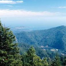
Otter Point State Recreation Site, State recreation area on the Oregon coast, United States.
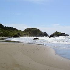
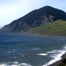
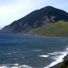
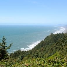
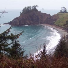
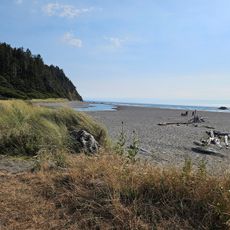
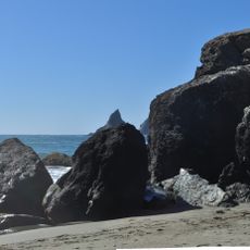
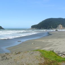
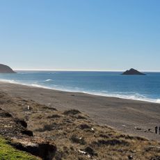
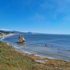
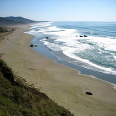
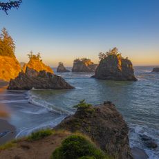
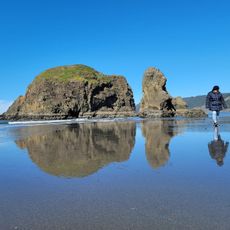
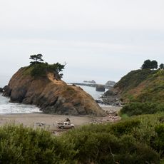
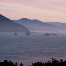
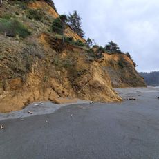
Otter Point State Recreation Site is a coastal area along the Pacific Ocean in Oregon with dramatic sandstone rock formations. The rocks rise from the beach at varying heights and display layered structures that ocean waves have carved over time.
The site was protected between 1960 and 1976 through court cases and purchases by the Oregon Parks and Recreation Department to ensure public beach access. These efforts became important examples for coastal protection policies in the region.
This coastal area belongs to the traditional lands of the Tolowa Dee-ni and the Confederated Tribes of Siletz Indians, whose ancestors lived along these shores for many generations. Their connection to this coast remains part of the place's identity and how locals understand the landscape.
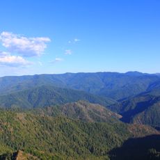
The site is open year-round with multiple trails connecting different beach areas and viewpoints throughout the landscape. Conditions vary by season and weather, so sturdy footwear and layers are helpful for most visits.
The rock formations display erosion patterns that resemble natural sculptures, shifting slightly with each major storm surge. Visitors can witness how the ocean actively reshapes the landscape over time.
Location: Curry County
Website: https://stateparks.oregon.gov/index.cfm?do=park.profile&parkId=41
GPS coordinates: 42.46233,-124.42344
Latest update: December 13, 2025 17:07
Samuel H. Boardman State Scenic Corridor
38.5 km
Oregon Islands National Wildlife Refuge
23.7 km
Humbug Mountain State Park
25 km
Thomas Creek Bridge
33.4 km
Isaac Lee Patterson Bridge
4 km
Humbug Mountain
24.1 km
Wild Rogue Wilderness
35 km
Cape Sebastian State Scenic Corridor
14.5 km
Port Orford Heads State Park
31.8 km
Arizona Beach State Recreation Site
17.1 km
Grassy Knob Wilderness
32 km
Lone Ranch Beach
41 km
Pistol River State Scenic Viewpoint
20.9 km
Paradise Point State Recreation Site
34.1 km
Battle Rock Wayside Park
31.7 km
Cape Blanco State Park
42.7 km
Ophir Beach
10 km
Gold Beach Ranger Station
6.7 km
Rogue River Museum & Gift shop
4.6 km
Secret Beach
30.1 km
Meyers Creek Beach Viewpoint
16.7 km
Whaleshead Beach
36.7 km
Meyers Creek Pullout South
17.5 km
Agate Beach
924 m
Battle Rock
31.3 km
Redfish Rocks Marine Reserve
26.8 km
Arizona Beach
17.1 km
Agate Beach
32.6 kmVisited this place? Tap the stars to rate it and share your experience / photos with the community! Try now! You can cancel it anytime.
Discover hidden gems everywhere you go!
From secret cafés to breathtaking viewpoints, skip the crowded tourist spots and find places that match your style. Our app makes it easy with voice search, smart filtering, route optimization, and insider tips from travelers worldwide. Download now for the complete mobile experience.
A unique approach to discovering new places❞
— Le Figaro
All the places worth exploring❞
— France Info
A tailor-made excursion in just a few clicks❞
— 20 Minutes