Chest opened
+${chestReward.xp} XP
Explorer
NOUVEAU ×${chestReward.collectible.quantity}
tapez pour fermer
Chest locked

Open chests in the app

Around Us is built for your phone — chests unlock when you walk, explore and capture nearby places.

Enable Location

We need your location to show you interesting places around you

Discover nearby places

Find interesting locations and hidden gems around you

Precise directions

Get accurate directions and distances to places

Your location is never shared with other users. It's only used when you tap the location button.

Diamond Lake

Log in to your account

Start exploring — it's free

Trusted by 72,878 travelers worldwide

Continue with Google
Continue with Apple
or

We will send you a code to connect

By continuing, you accept our Terms and Conditions and our Privacy Policy

Check your inbox

We've sent a pincode in your inbox. Please enter the code below.

Diamond Lake
Discussion Reviews 1 Photos
13.5k Popularity

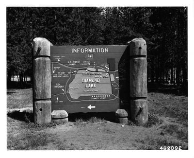
Diamond Lake, Mountain lake in Douglas County, Oregon

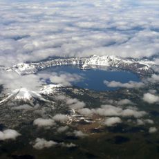
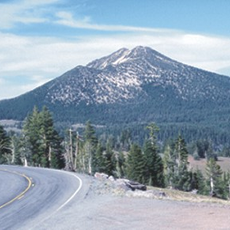
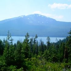
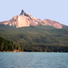
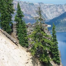
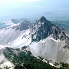
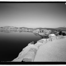
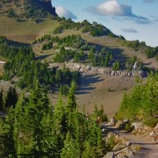
Diamond Lake is a mountain lake in the Umpqua National Forest, positioned between Mount Bailey and Mount Thielsen in southeastern Oregon. The water body covers a substantial area and reaches considerable depths, making it a significant natural feature in the region.

The lake took its name from pioneer John Diamond, who discovered it in the mid-1800s while exploring migration routes through the area. These early explorations helped open access to the region for settlers moving eastward.

The Tour de Diamond cycling competition takes place each summer at Diamond Lake, marking the largest event in the North American Cycling Organization calendar.

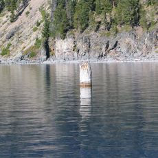
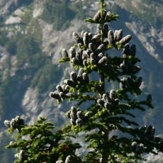
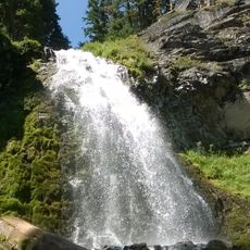
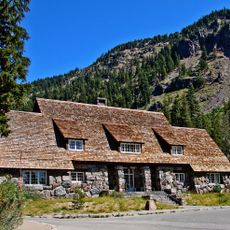
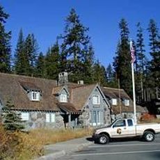
The shoreline is lined with pine forest and offers multiple access points for visitors seeking water activities and recreation. Weather in the higher elevation can change quickly, so it pays to check conditions before heading out.

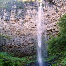
The lake fills from Silent Creek and drains through Diamond Lake Creek toward the Pacific Ocean, creating a quiet water corridor through the forest. This unnamed inlet-to-outlet system often goes unnoticed by visitors enjoying the surface.

The community of curious travelers

AroundUs brings together thousands of curated places, local tips, and hidden gems, enriched daily by 60,000 contributors worldwide.

Start exploring
Location
Elevation above the sea
1,580 m
GPS coordinates
43.17889,-122.13778
Latest update
December 7, 2025 20:26
Around this place
Old Man of the Lake
United States of America

Old Man of the Lake

25.7 km
Mount Mazama
United States of America

Mount Mazama

27 km
Mount Thielsen
United States of America

Mount Thielsen

6.5 km
Toketee Falls
United States of America

Toketee Falls

25.7 km
Crater Lake Lodge
United States of America

Crater Lake Lodge

30 km
Mount Scott
United States of America

Mount Scott

30.2 km
Rim Drive
United States of America

Rim Drive

29.7 km
Mount Bailey
United States of America

Mount Bailey

7.2 km
Rim Village Historic District
United States of America

Rim Village Historic District

29.9 km
Watson Falls
United States of America

Watson Falls

21.6 km
Mount Thielsen Wilderness
United States of America

Mount Thielsen Wilderness

10.7 km
Watchman Lookout Station
United States of America

Watchman Lookout Station

26.4 km
Rogue–Umpqua Divide Wilderness
United States of America

Rogue–Umpqua Divide Wilderness

29.2 km
Sinnott Memorial Observation Station
United States of America

Sinnott Memorial Observation Station

29.8 km
Comfort Station No. 72
United States of America

Comfort Station No. 72

29.8 km
Crater Lake Superintendent's Residence
United States of America

Crater Lake Superintendent's Residence

31 km
Comfort Station No. 68
United States of America

Comfort Station No. 68

29.8 km
Munson Valley Historic District
United States of America

Munson Valley Historic District

31.4 km
Plaikni Falls
United States of America

Plaikni Falls

30.9 km
Lathrop Glacier
United States of America

Lathrop Glacier

6.4 km
Hershberger Mountain Lookout
United States of America

Hershberger Mountain Lookout

30.4 km
Rim Drive Historic District
United States of America

Rim Drive Historic District

26.5 km
Administration Building
United States of America

Administration Building

31.4 km
Rim Visitor Center
United States of America

Rim Visitor Center

29.8 km
Watchman Peak Trail
United States of America

Watchman Peak Trail

26.5 km
Steel Visitor Center
United States of America

Steel Visitor Center

31.4 km
Mount Scott Trail
United States of America

Mount Scott Trail

30.4 km
Watchman Overlook
United States of America

Watchman Overlook

26.1 km
Show the full map
Reviews
Share your experience

No review yet

Discussions
Start a discussion...

No discussion yet

« Diamond Lake - Mountain lake in Douglas County, Oregon » is provided by Around Us (aroundus.com). Images and texts are derived from Wikimedia project under a Creative Commons license. You are allowed to copy, distribute, and modify copies of this page, under the conditions set by the license, as long as this note is clearly visible.

Discover hidden gems everywhere you go!

From secret cafés to breathtaking viewpoints, skip the crowded tourist spots and find places that match your style. Our app makes it easy with voice search, smart filtering, route optimization, and insider tips from travelers worldwide. Download now for the complete mobile experience.

Around Us App Screenshot

A unique approach to discovering new places

Le Figaro

All the places worth exploring

France Info

A tailor-made excursion in just a few clicks

20 Minutes

Around Us
Travel Guide & Maps
Download

Send to your phone

QR Code
1

Open the camera app on your mobile.

2

Point at the QR code with your camera. A notification will appear.

3

Tap the notification to open the link.