
Devils Lake Natural Resources Conservation Area
Devils Lake Natural Resources Conservation Area, natural area in Jefferson County, Washington state, United States of America
Location: Jefferson County
Website: https://www.dnr.wa.gov/devils-lake-natural-resources-conservation-area
Operator: Washington State Department of Natural Resources
Website: https://dnr.wa.gov/devils-lake-natural-resources-conservation-area
GPS coordinates: 47.79224,-122.88213
Latest update: April 5, 2025 02:27
Hood Canal Bridge
20.7 km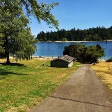
Old Man House
25.4 km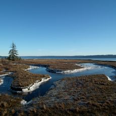
Dosewallips State Park
11.7 km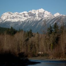
Mount Constance
18.5 km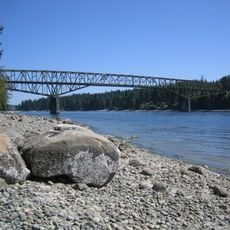
Agate Pass Bridge
25.3 km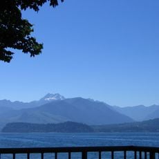
Scenic Beach State Park
16.1 km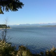
Kitsap Memorial State Park
17.4 km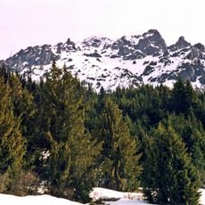
Mount Deception
26.4 km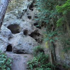
Tamanowas Rock
26.4 km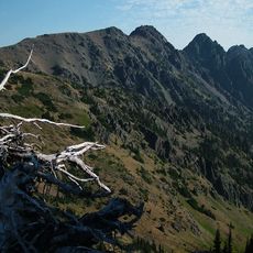
Buckhorn Wilderness
18.3 km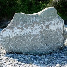
Haleets
26.6 km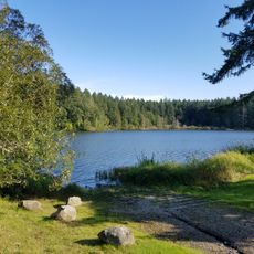
Anderson Lake State Park
26 km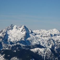
The Brothers Wilderness
18.9 km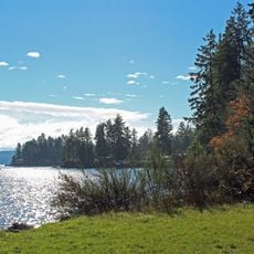
Triton Cove State Park
22.1 km
Suquamish Museum and Cultural Center
24.4 km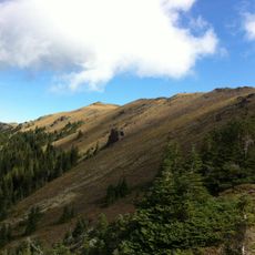
Mount Townsend
15.7 km
Green Mountain
26.1 km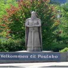
Norseman Statue
17.7 km
Mount Mystery
25.4 km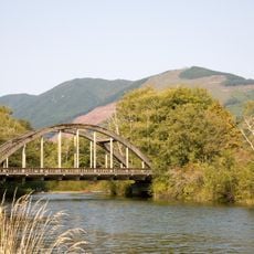
Duckabush River Bridge
16.4 km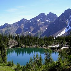
Warrior Peak
18.8 km
Buckhorn Mountain
18.3 km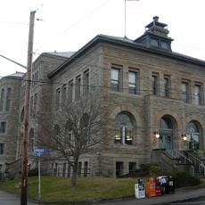
United States Post Office-Port Townsend Main
26.5 km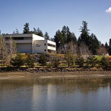
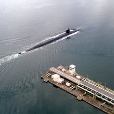
Naval Undersea Museum
21.8 km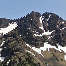
Iron Mountain
17.5 km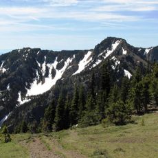
Welch Peaks
14.7 km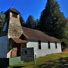
Christian Congregation Church of Port Ludlow
21 km
Robbinswold Beach Access
24.8 kmReviews
Visited this place? Tap the stars to rate it and share your experience / photos with the community! Try now! You can cancel it anytime.
Discover hidden gems everywhere you go!
From secret cafés to breathtaking viewpoints, skip the crowded tourist spots and find places that match your style. Our app makes it easy with voice search, smart filtering, route optimization, and insider tips from travelers worldwide. Download now for the complete mobile experience.

A unique approach to discovering new places❞
— Le Figaro
All the places worth exploring❞
— France Info
A tailor-made excursion in just a few clicks❞
— 20 Minutes