San Andreas Fault, Earthquake Fault Line in California.
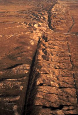
The San Andreas Fault is a roughly 750-mile-long crack in the Earth's crust that runs through California from north to south. It marks the boundary where the Pacific Plate slides past the North American Plate, with major cities like Los Angeles and San Francisco sitting on opposite sides of this division.
The fault was first systematically identified in 1895, but its full extent became clear after the major 1906 San Francisco earthquake. Significant earthquakes also struck in 1812, 1857, and 1989, reshaping California's development and building practices.
The San Andreas Fault appears frequently in California stories, films, and local conversations as a symbol of the region's dynamic nature. Residents here have developed a distinctive awareness of living on shifting ground that shapes their perspective on home and safety.
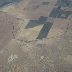
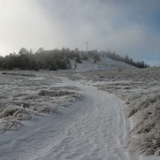
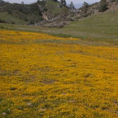
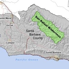
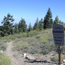
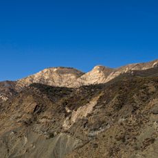
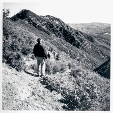
Many sections of the fault are easily accessible along roads and hiking trails, particularly in the Carrizo Plain and near Palmdale. Visitors should be prepared for uneven terrain and variable weather, as access to some areas may be limited by season or land management policies.
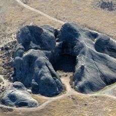
In some places along the fault, roads and fences are visibly offset or bent from its slow movement, showing how this force works even on quiet days. The Pacific Plate shifts a few centimeters each year, comparable to how fingernails grow, but over millions of years this accumulates into massive landscape changes.
The community of curious travelers
AroundUs brings together thousands of curated places, local tips, and hidden gems, enriched daily by 60,000 contributors worldwide.