Chest opened
+${chestReward.xp} XP
Explorer
NOUVEAU ×${chestReward.collectible.quantity}
tapez pour fermer
Chest locked

Open chests in the app

Around Us is built for your phone — chests unlock when you walk, explore and capture nearby places.

Enable Location

We need your location to show you interesting places around you

Discover nearby places

Find interesting locations and hidden gems around you

Precise directions

Get accurate directions and distances to places

Your location is never shared with other users. It's only used when you tap the location button.

Log in to your account

Start exploring — it's free

Trusted by 72,969 travelers worldwide

Continue with Google
Continue with Apple
or

We will send you a code to connect

By continuing, you accept our Terms and Conditions and our Privacy Policy

Check your inbox

We've sent a pincode in your inbox. Please enter the code below.

Keyesville Massacre
Discussion Reviews Photo
3.6k Popularity

Keyesville Massacre, Historical conflict site near Kern River, California

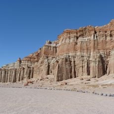
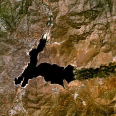
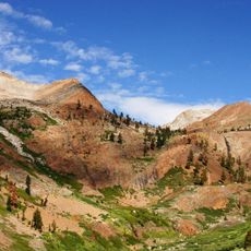
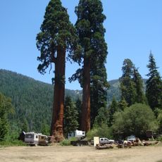
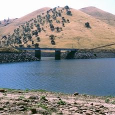
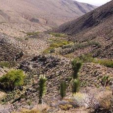
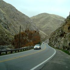
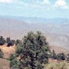
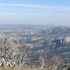
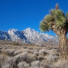
The Keyesville Massacre site is located along the North Fork of the Kern River in California and marks the location of an armed confrontation between military forces and indigenous peoples. The original area now lies beneath the waters of Lake Isabella, though historical records and memorials preserve the account of what occurred there.

In April 1863, Captain Moses McLaughlin led cavalry troops in an attack that resulted in the deaths of approximately 35 Tubatulabal and Mono men without formal legal process. This event was part of a broader pattern of conflicts that shaped military and indigenous relations during the era of westward expansion.

The location holds deep significance for the Tubatulabal and Mono nations as a place of remembrance and reflection about their ancestral lands. Visitors encounter reminders of a violent chapter that fundamentally altered relations between indigenous peoples and settlers in the region.

The original location is now submerged, but visitors can learn about the site through exhibits at nearby museums and Native American cultural centers. Access to remembrance sites and historical markers is available year-round without special restrictions.

Severe drought conditions in the years before 1863 and the major flood of 1862 had depleted resources in the region and contributed to rising tensions. These environmental shifts directly affected survival conditions for both indigenous and settler populations.

The community of curious travelers

AroundUs brings together thousands of curated places, local tips, and hidden gems, enriched daily by 60,000 contributors worldwide.

Start exploring
Location
GPS coordinates
35.76950,-118.43500
Latest update
December 12, 2025 07:52
Reviews
Share your experience

No review yet

Discussions
Start a discussion...

No discussion yet

« Keyesville Massacre - Historical conflict site near Kern River, California » is provided by Around Us (aroundus.com). Images and texts are derived from Wikimedia project under a Creative Commons license. You are allowed to copy, distribute, and modify copies of this page, under the conditions set by the license, as long as this note is clearly visible.

Discover hidden gems everywhere you go!

From secret cafés to breathtaking viewpoints, skip the crowded tourist spots and find places that match your style. Our app makes it easy with voice search, smart filtering, route optimization, and insider tips from travelers worldwide. Download now for the complete mobile experience.

Around Us App Screenshot

A unique approach to discovering new places

Le Figaro

All the places worth exploring

France Info

A tailor-made excursion in just a few clicks

20 Minutes

Around Us
Travel Guide & Maps
Download

Send to your phone

QR Code
1

Open the camera app on your mobile.

2

Point at the QR code with your camera. A notification will appear.

3

Tap the notification to open the link.