
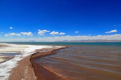
Shuanghu County, county in Tibet, est. 2013
Location: Nagqu
Elevation above the sea: 4,960 m
Website: http://www.xzsh.gov.cn/
Website: http://xzsh.gov.cn
GPS coordinates: 33.19222,88.83611
Latest update: April 13, 2025 04:07

Hoh Xil
295.3 km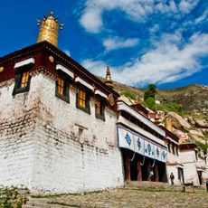
Sera Monastery
446 km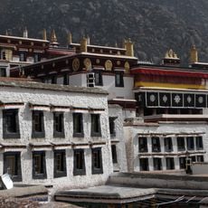
Drepung Monastery
444.1 km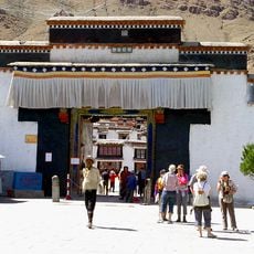
Tashilhunpo Monastery
437 km
Yerpa
448.3 km
Tsurphu Monastery
419.7 km
Nechung
445 km
Drigung Monastery
468.8 km
Menri Monastery
422.3 km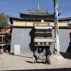
Shalu Monastery
452.7 km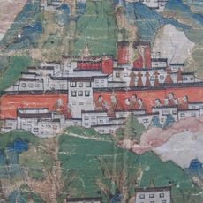
Narthang Monastery
445.1 km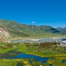
Reting Monastery
408.8 km
Geladaindong Peak
219.4 km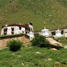
Pabonka Hermitage
443.1 km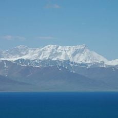
Mount Nyenchen Tanglha
353.4 km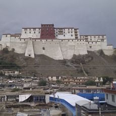
Shigatse Dzong
435.8 km
Bukadaban Feng
366.1 km
Altun Shan National Nature Reserve
601.9 km
Taklung Monastery
406.6 km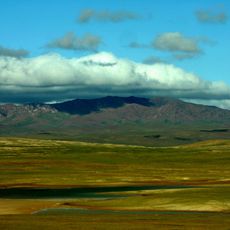
Hoh Xil Shan
311.7 km
Chupzang Nunnery
444 km
Yangpachen Monastery
386.3 km
Rakhadrak Hermitage
446 km
Sera Utsé Hermitage
444.8 km
Lalu Wetlands National Nature Preserve
446.5 km
Purbuchok Hermitage
445.5 km
Keutsang Hermitage
446.2 km
Jonang Monastery
436 kmReviews
Visited this place? Tap the stars to rate it and share your experience / photos with the community! Try now! You can cancel it anytime.
Discover hidden gems everywhere you go!
From secret cafés to breathtaking viewpoints, skip the crowded tourist spots and find places that match your style. Our app makes it easy with voice search, smart filtering, route optimization, and insider tips from travelers worldwide. Download now for the complete mobile experience.

A unique approach to discovering new places❞
— Le Figaro
All the places worth exploring❞
— France Info
A tailor-made excursion in just a few clicks❞
— 20 Minutes