Chest opened
+${chestReward.xp} XP
Explorer
NOUVEAU ×${chestReward.collectible.quantity}
tapez pour fermer
Chest locked

Open chests in the app

Around Us is built for your phone — chests unlock when you walk, explore and capture nearby places.

Enable Location

We need your location to show you interesting places around you

Discover nearby places

Find interesting locations and hidden gems around you

Precise directions

Get accurate directions and distances to places

Your location is never shared with other users. It's only used when you tap the location button.

Divide

Log in to your account

Start exploring — it's free

Trusted by 72,874 travelers worldwide

Continue with Google
Continue with Apple
or

We will send you a code to connect

By continuing, you accept our Terms and Conditions and our Privacy Policy

Check your inbox

We've sent a pincode in your inbox. Please enter the code below.

Discussion Reviews 1 Photos
13.3k Popularity

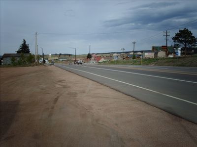
Divide, Census-designated place in Teller County, Colorado, United States.

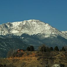
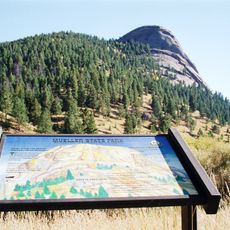
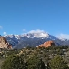
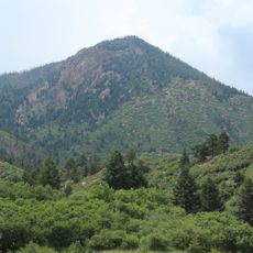
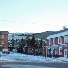
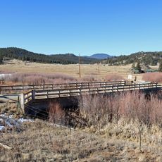
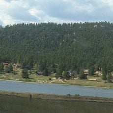
Divide is a community located at 9,165 feet elevation in the Rocky Mountains, surrounded by forests and mountain peaks. It sits on a watershed ridge and serves as a gateway to Mueller State Park with basic services available.

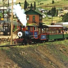
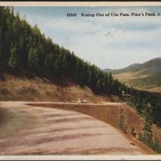
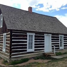
The settlement began in the 1890s during Colorado's mining boom as a key railway junction. The Midland Terminal Railroad made it important by connecting regional mining operations.

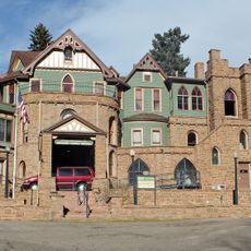
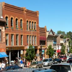
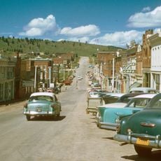
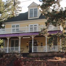
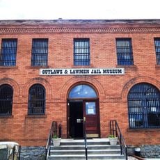
The community preserves its mining past through old structures and local records that visitors can see. This tangible connection shapes how people understand the area's economic roots.

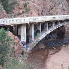
The location is best reached by mountain road and offers straightforward access for most vehicles. The high elevation requires adjustments when driving, especially during winter when snow is possible.

The name refers to the watershed ridge where water flows in different directions across the landscape. This geographic feature gave the settlement its identity and remains central to understanding its location.

The community of curious travelers

AroundUs brings together thousands of curated places, local tips, and hidden gems, enriched daily by 60,000 contributors worldwide.

Start exploring
Location
GPS coordinates
38.94190,-105.15800
Latest update
December 7, 2025 20:40
Around this place
Pikes Peak
United States of America

Pikes Peak

15 km
Manitou Incline
United States of America

Manitou Incline

21.8 km
Cave of the Winds
United States of America

Cave of the Winds

21.8 km
Barr Trail
United States of America

Barr Trail

16.1 km
Mueller State Park
United States of America

Mueller State Park

7.2 km
Miramont Castle
United States of America

Miramont Castle

22.4 km
Manitou Mineral Springs
United States of America

Manitou Mineral Springs

22.6 km
Rampart Reservoir
United States of America

Rampart Reservoir

16.8 km
Cripple Creek and Victor Narrow Gauge Railroad
United States of America

Cripple Creek and Victor Narrow Gauge Railroad

21.6 km
Rainbow Falls
United States of America

Rainbow Falls

21.6 km
The Broadmoor Manitou and Pikes Peak Cog Railway
United States of America

The Broadmoor Manitou and Pikes Peak Cog Railway

21.9 km
Rocky Mountain Dinosaur Resource Center
United States of America

Rocky Mountain Dinosaur Resource Center

10.9 km
Pikes Peak
United States of America

Pikes Peak

15.1 km
Ute Pass
United States of America

Ute Pass

89 m
Manitou Springs Historic District
United States of America

Manitou Springs Historic District

22.6 km
Santa's Workshop
United States of America

Santa's Workshop

16.2 km
North Pole Colorado
United States of America

North Pole Colorado

16.3 km
Blodgett Peak
United States of America

Blodgett Peak

21.8 km
Cripple Creek Historic District
United States of America

Cripple Creek Historic District

21.2 km
United States Army Pike's Peak Research Laboratory
United States of America

United States Army Pike's Peak Research Laboratory

14.9 km
Eastholme
United States of America

Eastholme

17.1 km
Cripple Creek District Museum
United States of America

Cripple Creek District Museum

21.7 km
Hornbek House
United States of America

Hornbek House

10.9 km
Bridge over Fountain Creek
United States of America

Bridge over Fountain Creek

21.7 km
South Platte River Bridge
United States of America

South Platte River Bridge

18.5 km
Outlaws And Lawmen Jail Museum
United States of America

Outlaws And Lawmen Jail Museum

21.9 km
Colorado Wolf and Wildlife Center
United States of America

Colorado Wolf and Wildlife Center

4.9 km
Lake George
United States of America

Lake George

18.3 km
Show the full map
Reviews
Share your experience

No review yet

Discussions
Start a discussion...

No discussion yet

« Divide - Census-designated place in Teller County, Colorado, United States » is provided by Around Us (aroundus.com). Images and texts are derived from Wikimedia project under a Creative Commons license. You are allowed to copy, distribute, and modify copies of this page, under the conditions set by the license, as long as this note is clearly visible.

Discover hidden gems everywhere you go!

From secret cafés to breathtaking viewpoints, skip the crowded tourist spots and find places that match your style. Our app makes it easy with voice search, smart filtering, route optimization, and insider tips from travelers worldwide. Download now for the complete mobile experience.

Around Us App Screenshot

A unique approach to discovering new places

Le Figaro

All the places worth exploring

France Info

A tailor-made excursion in just a few clicks

20 Minutes

Around Us
Travel Guide & Maps
Download

Send to your phone

QR Code
1

Open the camera app on your mobile.

2

Point at the QR code with your camera. A notification will appear.

3

Tap the notification to open the link.