Adams County, Administrative county in western Idaho, US.
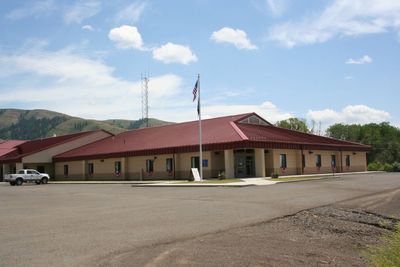
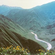
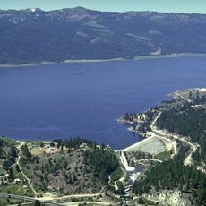
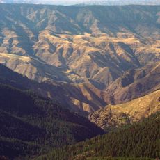
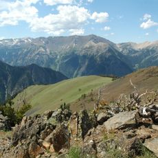
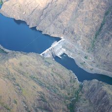
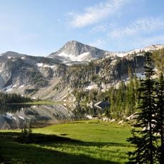
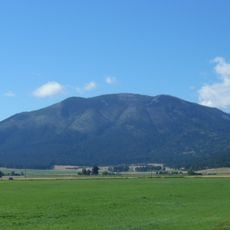
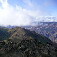
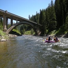
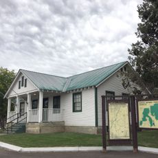
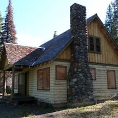
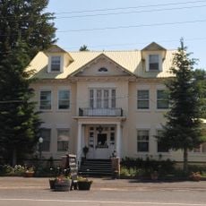
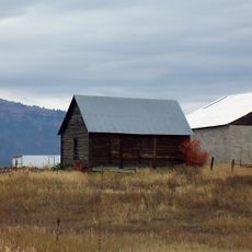
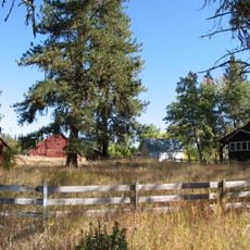
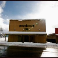
Adams County is an administrative division in western Idaho's mountainous region covering approximately 3,500 square kilometers of forested areas and river valleys. The county seat of Council serves as its main hub, housing government offices and community facilities.
The county was officially established on March 3, 1911, and named after John Adams, the second US president. Its creation followed the expansion of settlements in western Idaho during the early 20th century.
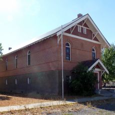
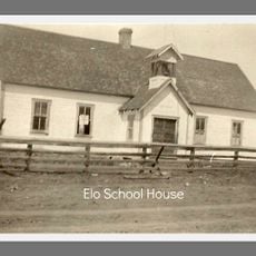
The communities here celebrate their heritage through local gatherings and craft markets that blend Native American traditions with settler history. Visitors can experience how residents maintain these cultural connections in their daily lives and events.
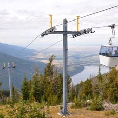
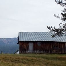
The county is best explored by car as roads wind through mountains and valleys with considerable distances between communities. Visitors should check local road conditions and allow extra time for travel between settlements.
While twelve counties across the United States share this name, this region stands out for being one of Idaho's most sparsely populated areas. The combination of low population density and natural resources gives the county its particular character.
Location: Idaho
Inception: March 3, 1911
Capital city: Council
Shares border with: Wallowa County, Washington County, Gem County, Idaho County, Valley County, Baker County
Website: http://co.adams.id.us
GPS coordinates: 44.90000,-116.45000
Latest update: December 8, 2025 13:40
Hells Canyon
54.5 km
Wallowa Mountains
76.8 km
Lake Cascade
43.5 km
Hells Canyon Wilderness
72.5 km
Sacajawea Peak
76.6 km
Hells Canyon Dam
43 km
Ponderosa State Park
29.6 km
Wallowa Lake Tramway
70.3 km
Wallowa Lake State Park
72.6 km
Lake Cascade State Park
52.6 km
Eagle Cap
73.2 km
Mount Howard
70 km
Sheep Rock
36.8 km
Salubria Lodge No. 31
40.5 km
North Fork Payette River Bridge
71.1 km
College Creek Ranger Station
64.8 km
Council Ranger Station
18.9 km
Adams County Courthouse
19.2 km
Lick Creek Guard Station
54.4 km
Col. E. M. Heigho House
15.6 km
Elo School
30.8 km
Wilson House
40.4 km
Cambridge News Office
40.5 km
Matt Ruatsale Homestead
32.9 km
Gust Laituri Homestead
29.7 km
Nickolai Wargelin Homestead
30.2 km
Hat Point Fire Lookout Tower
62.1 km
Heavens Gate Lookout
52.3 kmVisited this place? Tap the stars to rate it and share your experience / photos with the community! Try now! You can cancel it anytime.
Discover hidden gems everywhere you go!
From secret cafés to breathtaking viewpoints, skip the crowded tourist spots and find places that match your style. Our app makes it easy with voice search, smart filtering, route optimization, and insider tips from travelers worldwide. Download now for the complete mobile experience.
A unique approach to discovering new places❞
— Le Figaro
All the places worth exploring❞
— France Info
A tailor-made excursion in just a few clicks❞
— 20 Minutes