
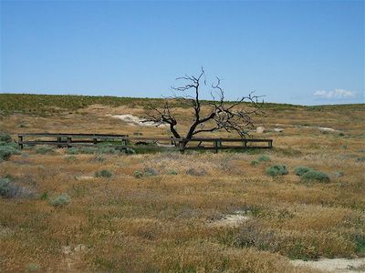
Wells Springs Segment
Wells Springs Segment, emigrant trail segment in Oregon, USA
Location: Morrow County
Part of: Oregon Trail
GPS coordinates: 45.64167,-119.68694
Latest update: September 27, 2025 15:22
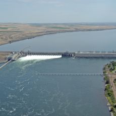
McNary Dam
44.5 km
Cottonwood Canyon State Park
63.9 km
Columbia River Washington Temple
72.5 km
Hat Rock State Park
50.7 km
Lake Wallula
44.6 km
Umatilla Bridge
42.3 km
Umatilla National Wildlife Refuge
29.5 km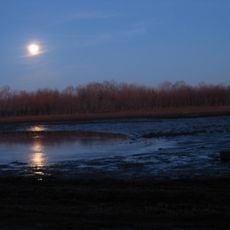
McKay Reservoir
69.3 km
Cold Springs National Wildlife Refuge
48.5 km
McKay Creek National Wildlife Refuge
69.6 km
Dyer State Wayside
69.6 km
Battle Mountain Forest State Scenic Corridor
69.6 km
Pendleton Round-Up and Happy Canyon Hall of Fame
69.2 km
Benton City – Kiona Bridge
70 km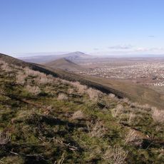
Badger Mountain Centennial Preserve
72 km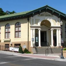
Pendleton Center for the Arts
70 km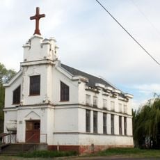
St. Peter's Roman Catholic Church
39.4 km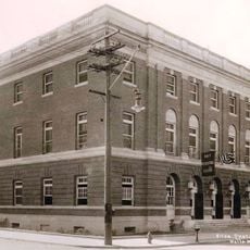
John F. Kilkenny United States Post Office and Courthouse
70.1 km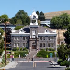
Morrow County Courthouse
33.8 km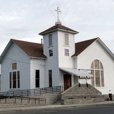
Echo Methodist Church
39.9 km
James H. and Cynthia Koontz House
39.9 km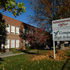
Compass High School
70.5 km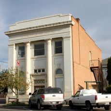
Bank of Echo Building
39.9 km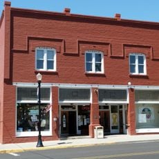
S. B. Barker Building
59.7 km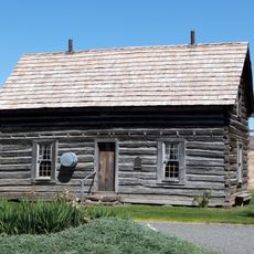
Silas A. Rice Log House
58.9 km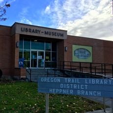
Heppner Library-Museum
33.4 km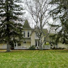
J. W. Carey House
62.4 km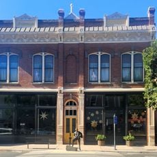
Pendleton Underground Tours Gift Shop
70.1 kmReviews
Visited this place? Tap the stars to rate it and share your experience / photos with the community! Try now! You can cancel it anytime.
Discover hidden gems everywhere you go!
From secret cafés to breathtaking viewpoints, skip the crowded tourist spots and find places that match your style. Our app makes it easy with voice search, smart filtering, route optimization, and insider tips from travelers worldwide. Download now for the complete mobile experience.

A unique approach to discovering new places❞
— Le Figaro
All the places worth exploring❞
— France Info
A tailor-made excursion in just a few clicks❞
— 20 Minutes