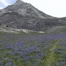
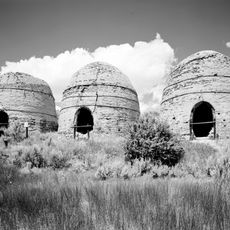
Lost River Range, Mountain range in central Idaho, United States.
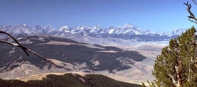
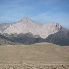
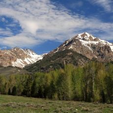
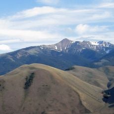
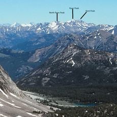
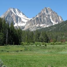
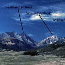
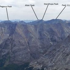
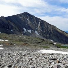
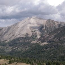
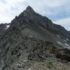
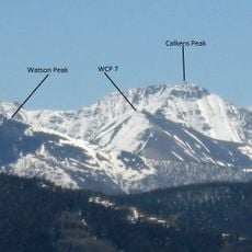
The Lost River Range is a mountain range in central Idaho containing over 100 peaks, many exceeding 12,000 feet in elevation. The range spans roughly 75 miles and separates the Big Lost River Valley from the Snake River Valley.
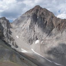
The range formed through tectonic activity that shaped the landscape over millions of years. A major earthquake in 1983 caused significant ground shifts and further elevated the mountains.
The range provides research opportunities for geologists studying Rocky Mountain formation patterns and tectonic plate movements in North America.
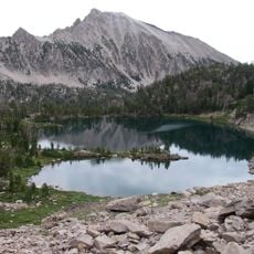
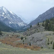
Visitors can reach the range via Double Springs Pass, one of the few roads crossing through these mountains. The best time for hiking is from June through September when snow has melted.
The region features a captive river system where the Big Lost River simply disappears into the ground in the valley below. This unusual hydrology makes the area hydrologically unique compared to surrounding drainage basins.
The community of curious travelers
AroundUs brings together thousands of curated places, local tips, and hidden gems, enriched daily by 60,000 contributors worldwide.