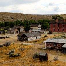
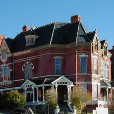
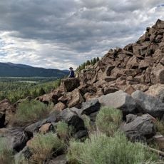
Clark's Lookout State Park, State park overlooking Beaverhead River near Dillon, Montana
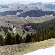
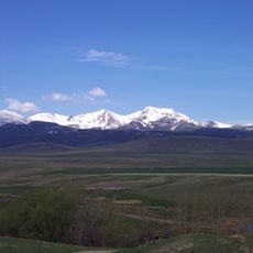
Clark's Lookout State Park is a hilltop location in Beaverhead County that offers views across the surrounding landscape and valley. The site includes hiking paths and interpretive signs that explain the area and its natural features.
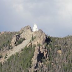
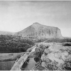
William Clark of the Lewis and Clark Expedition climbed this hill in 1805 to take measurements and map the region. This spot marks an important point in the early exploration and documentation of western territory.
The monument at the summit displays compass readings that Clark recorded, showing how early explorers navigated through unfamiliar terrain. Visitors today can see how critical these measurements were for mapping unknown areas.
The park is easy to access during warmer months and offers parking and well-maintained hiking paths. Visitors should wear sturdy footwear and be prepared for changing weather conditions due to the elevation.
The site preserves the exact spot where Clark made his observations and can be visited by anyone today. This direct connection to a historical moment lets visitors retrace the view from the early 1800s.
The community of curious travelers
AroundUs brings together thousands of curated places, local tips, and hidden gems, enriched daily by 60,000 contributors worldwide.