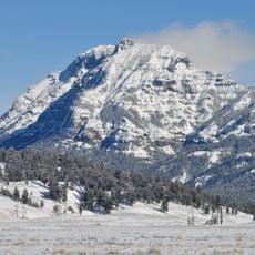
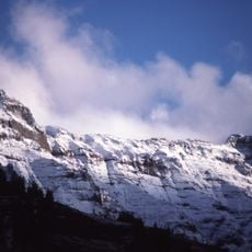
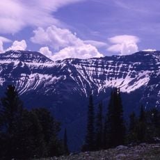
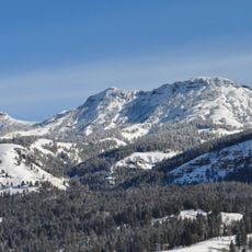
Hurricane Mesa, Mountain summit in Park County, United States.
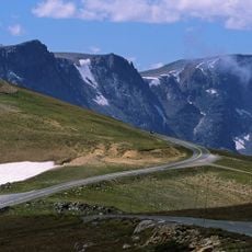
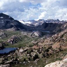
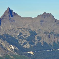
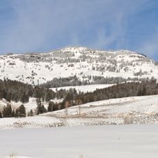
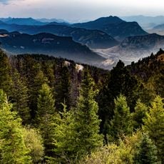
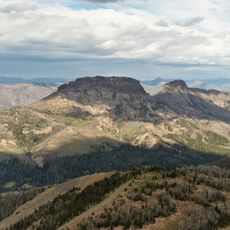
Hurricane Mesa is a summit in the Absaroka Range of Park County, Wyoming, reaching 3,355 meters, about 246 meters above the surrounding terrain. Its base spans roughly 3.9 kilometers, and the peak lies within a landscape of hills to the south and mountains to the north.
The mountain formed through volcanic activity during the Eocene epoch as part of the broader Absaroka Range geological formations created millions of years ago.
The name Hurricane Mesa does not appear in the source, which records only its location in Park County, Wyoming, within the Absaroka Range. The surrounding terrain is mostly sagebrush steppe, and the source notes fewer than two people per square kilometre and no town nearby. The summit rises 246 metres above the surrounding ground and is 3.9 kilometres wide at its base.
Hurricane Mesa lies in Park County, Wyoming, in the Absaroka Range, about 2,800 km west of Washington, D.C. The surrounding area is largely sagebrush steppe with no town nearby and fewer than two people per square kilometre. The local climate is hemiboreal: average temperature is 1 °C, July averages 18 °C and December −14 °C, with about 331 mm of precipitation a year.
Hurricane Mesa rises 3,355 metres above sea level, about 246 metres above the surrounding terrain, and its base spans roughly 3.9 kilometres. It lies in the Absaroka Range, and the nearest higher ground, at 3,424 metres, stands 4.2 kilometres to the east.
The community of curious travelers
AroundUs brings together thousands of curated places, local tips, and hidden gems, enriched daily by 93,922 contributors worldwide.