Mackenzie River, Major river system in Northwest Territories, Canada.
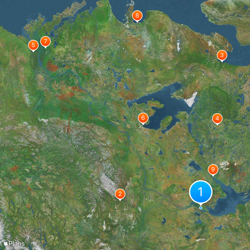
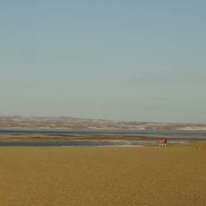
Mackenzie River is a river system in the Northwest Territories, Canada, that runs 1,738 kilometers from Great Slave Lake to the Arctic Ocean. It flows through low-lying land and splits into numerous channels that form a wide delta region before reaching the sea.
Alexander Mackenzie reached the mouth of the river in 1789, opening a major route for the fur trade through the northern territory. Settlers and traders used this connection afterward to reach remote communities and establish trading posts.
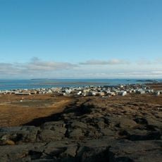
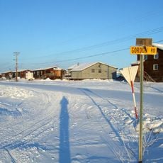
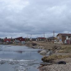
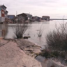
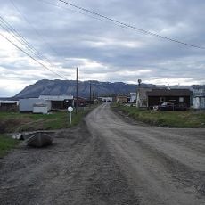
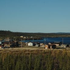
The Dene peoples call this waterway Deh Cho, meaning Big River, and have relied on it for generations as a travel and supply route. Inuvialuit settlements developed near its mouth, where families fish, hunt, and use the current for transport.
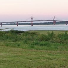
The river is open for navigation from June to November, when barges move between settlements and carry supplies. Those planning a trip should keep in mind that weather changes quickly and remote sections can be hard to access.
The delta covers twelve thousand square kilometers and contains many pingos, hills with ice cores that form from frozen groundwater pockets. These formations are rare in Arctic regions and give the landscape a distinct appearance.
Location: Northwest Territories
Address: Mackenzie River, Northwest Territories, Canada
GPS coordinates: 61.19360,-117.34770
Latest update: December 15, 2025 00:41
The world's largest rivers flow across continents and shape entire regions through their power and reach. The Amazon stretches 6,992 kilometers through South America, the Nile covers 6,852 kilometers across Egypt and Sudan, while the Yangtze River measures 6,300 kilometers in China. These waterways...
Nahanni National Park Reserve
455.1 km
Kugluktuk
746 km
Acasta Gneiss
451 km
Aklavik
1140.3 km
Délı̨nę
538.6 km
Midnight Sun Mosque
1107.9 km
Paulatuk
959.2 km
Behchokǫ̀
191.6 km
Deh Cho Bridge
12.2 km
Tulita
584.5 km
Virginia Falls
449.1 km
Aurora College
1106.6 km
The Wildcat Cafe
211.9 km
Mount Nirvana
552.8 km
Colville Lake
775.5 km
Nahanni Butte
324.8 km
Northwest Territories Legislative Building
210.1 km
Nááts'įhch'oh National Park Reserve
586.1 km
Greenstone Building
210 km
Five Finger Rapids
1005.2 km
Canadian Forces Northern Area Headquarters Yellowknife
210.1 km
Bloody Fall
735.2 km
Keele Peak
714.4 km
Horn River Formation
63.8 km
Prince of Wales Northern Heritage Centre
209.9 km
Church of Our Lady of Good Hope
789.6 km
Kugluk/Bloody Falls Territorial Park
734.8 km
Saoyú-ʔehdacho
489.4 kmVisited this place? Tap the stars to rate it and share your experience / photos with the community! Try now! You can cancel it anytime.
Discover hidden gems everywhere you go!
From secret cafés to breathtaking viewpoints, skip the crowded tourist spots and find places that match your style. Our app makes it easy with voice search, smart filtering, route optimization, and insider tips from travelers worldwide. Download now for the complete mobile experience.
A unique approach to discovering new places❞
— Le Figaro
All the places worth exploring❞
— France Info
A tailor-made excursion in just a few clicks❞
— 20 Minutes