
Simpson Desert, Desert and WWF ecoregion in Northern Territory, Australia
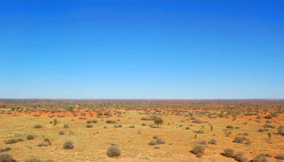
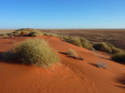
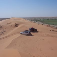
The Simpson Desert spans 176,500 square kilometers across three territories, featuring parallel north-south sand dunes reaching heights of 40 meters at Big Red point.
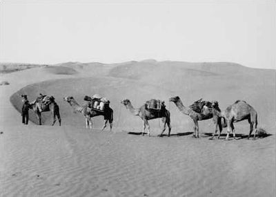
Charles Sturt entered the desert between 1844 and 1846, followed by Augustus Poeppel who marked the Queensland-South Australia border in 1880.
The Wangkangurru Yarluyandi people name this region Munga-Thirri, with archaeological evidence confirming Indigenous habitation extending back at least 5,000 years.
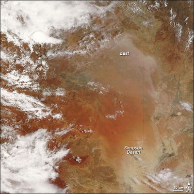
The desert receives approximately 150 millimeters of annual rainfall and experiences summer temperatures up to 50 degrees Celsius with frequent sandstorms.
The Great Artesian Basin underneath the desert supplies water to natural springs, including Dalhousie Springs, forming essential water sources in this arid environment.
Location: Northern Territory
Location: Queensland
Location: South Australia
Elevation above the sea: 288 m
GPS coordinates: -24.57000,137.42000
Latest update: May 28, 2025 18:35
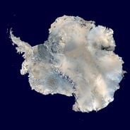
The world's largest desert expanses range from the poles to subtropical areas. From Antarctica with its 14 million square kilometers to the Mojave plains, these regions are characterized by extreme conditions and low rainfall. Polar deserts dominate in area, followed by hot deserts like the Sahara and the Arabian Desert. Each region features specific geological and climatic characteristics, creating distinct landscapes.
Deserts of Australia
0 m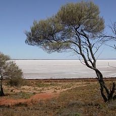
Lake Eyre basin
169.2 km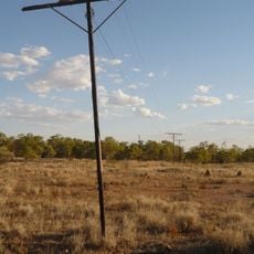
Australian Overland Telegraph Line
288.9 km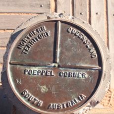
Poeppel Corner
169.2 km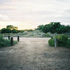
Dalhousie Springs
286.3 km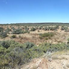
Boxhole crater
314.6 km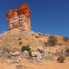
Chambers Pillar
365.1 km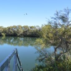
Witjira National Park
269.4 km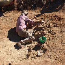
Alcoota
360.2 km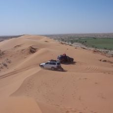
Munga-Thirri National Park
104.5 km
Astrebla Downs National Park
318.2 km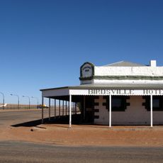
Birdsville Hotel
244.3 km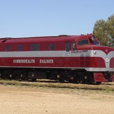
Old Ghan Heritage Railway and Museum
371.3 km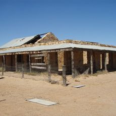
Royal Hotel, Birdsville
244.5 km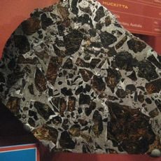
Huckitta
297.7 km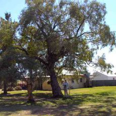
Kidman's Tree of Knowledge
221.1 km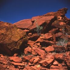
Ewaninga rock carvings
357.4 km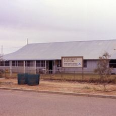
Australian Inland Mission Hospital, Birdsville
244.6 km
Bitter Springs Group
322.1 km
Poeppel Corner Survey Marker
169.2 km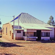
Boulia Stone House
313.5 km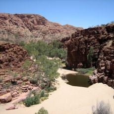
Trephina Gorge Nature Park
331.1 km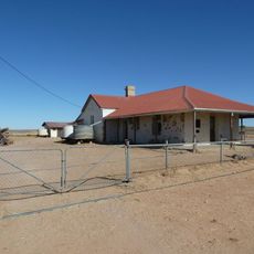
Birdsville Courthouse
244.2 km
Ethabuka Reserve
117.7 km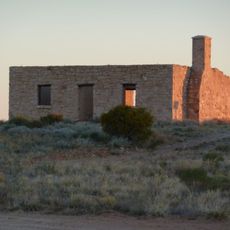
Carcory Homestead Ruin
228.8 km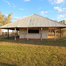
Bedourie Pisé House and Aboriginal Tracker's Hut
209 km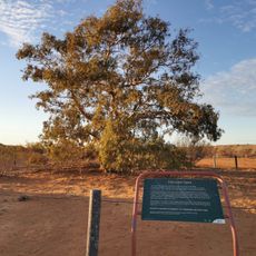
Lone Gum Tree
212.2 km
Asia Pacific Aircraft Storage
367.5 kmReviews
Visited this place? Tap the stars to rate it and share your experience / photos with the community! Try now! You can cancel it anytime.
Discover hidden gems everywhere you go!
From secret cafés to breathtaking viewpoints, skip the crowded tourist spots and find places that match your style. Our app makes it easy with voice search, smart filtering, route optimization, and insider tips from travelers worldwide. Download now for the complete mobile experience.

A unique approach to discovering new places❞
— Le Figaro
All the places worth exploring❞
— France Info
A tailor-made excursion in just a few clicks❞
— 20 Minutes