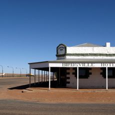
Simpson Desert, Desert and WWF ecoregion in Northern Territory, Australia
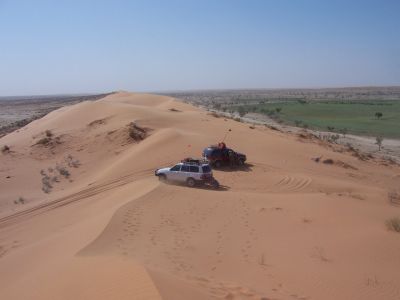
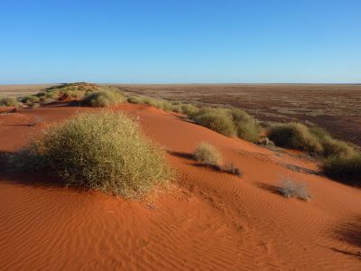
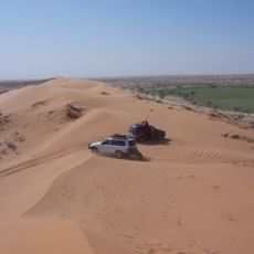
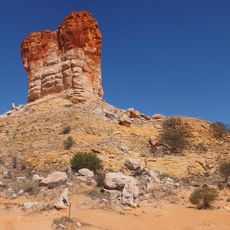
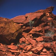
The Simpson Desert stretches across three Australian states and covers an area with parallel sand dunes running north to south. The highest formation, called Big Red, reaches about 40 meters (131 feet) and sits near the Queensland border.
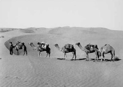
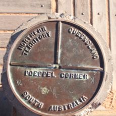
Charles Sturt entered the desert in the mid-19th century during his expedition into the interior. Augustus Poeppel later marked the border between South Australia and Queensland while crossing the region.
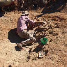
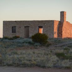
The Wangkangurru Yarluyandi call this desert Munga-Thirri, a name that refers to the red earth and long dunes. Archaeological finds show people have lived here for several thousand years, using water from hidden springs.
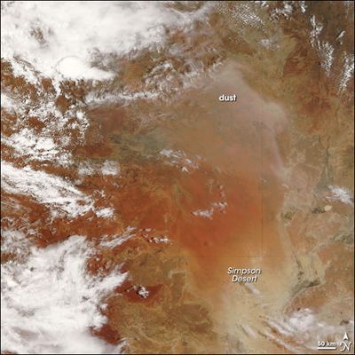
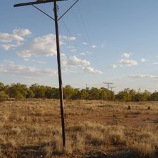
The desert receives only around 150 millimeters of rain each year, and summer air temperatures can exceed 50 degrees Celsius (122 degrees Fahrenheit). Sandstorms occur frequently and the heat makes travel from November to March especially demanding.
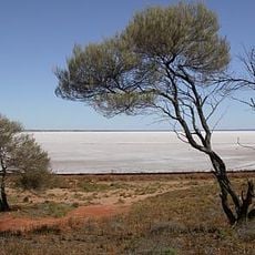
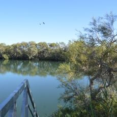
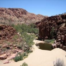
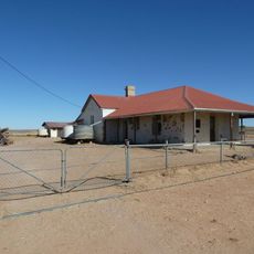
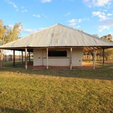
Beneath the desert lies the Great Artesian Basin, which feeds natural springs such as Dalhousie Springs. These springs once served as vital watering points for people and animals in this dry landscape.
The community of curious travelers
AroundUs brings together thousands of curated places, local tips, and hidden gems, enriched daily by 60,000 contributors worldwide.