
Bhaluka Upazila, upazila in Mymensingh Division, Bangladesh
Location: Mymensingh District
Inception: 1917
Capital city: Bhaluka
Elevation above the sea: 14 m
Website: http://bhaluka.mymensingh.gov.bd
GPS coordinates: 24.37500,90.37833
Latest update: March 24, 2025 21:57
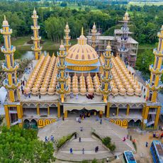
201 Dome Mosque
56.8 km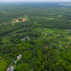
Gazipur Safari Park
23.2 km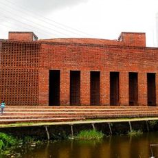
Baitur Rauf
55.1 km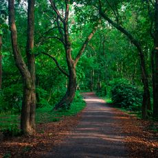
Bhawal National Park
31.2 km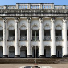
Baliati Palace
54.4 km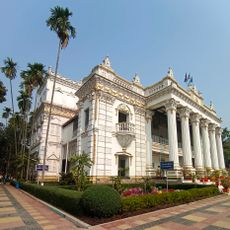
Mohera Jamider Bari
41.5 km
Zainul Abedin Museum
44 km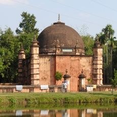
Atia Mosque
51.9 km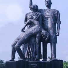
Amar Ekushey
56.2 km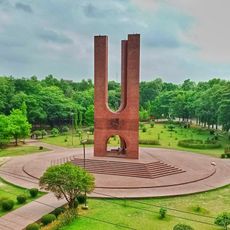
Shaheed Minar
56.3 km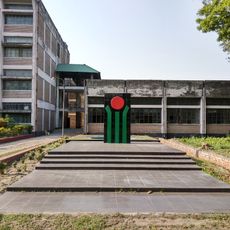
Tangail Polytechnic Institute
47.7 km
Madhupur National Park
44.5 km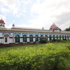
Dhanbari Nawab Palace
54.4 km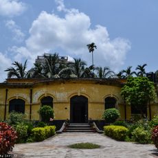
Mymensingh Museum
43 km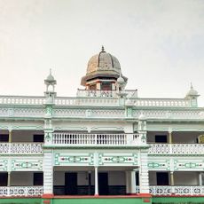
Baliadi Zamindar Bari
40.7 km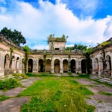
Hemnagar Zamindar Bari
57.2 km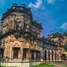
Sreefaltali Zaminder Bari
38.2 km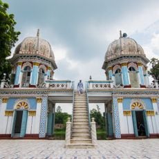
Dhanbari Mosque
54.3 km
Shohidi Masjid
41.7 km
Temple of Chandrabati
44.9 km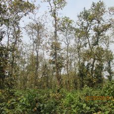
Kadigarh National Park
6.5 km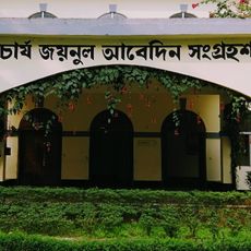
Shilpacharya Zainul Abedin Sangrahashala
44 km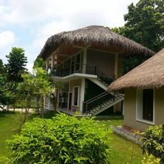
Rajendra Eco Resort
27.9 km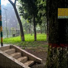
Tangail DC Lake
47.8 km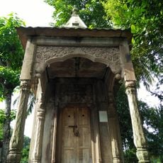
Stone Siva Temple
44.4 km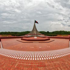
Jatiyo Smriti Soudho
53.1 km
BAU Agriculture Museum
39.1 km
চাঁমুর খাঁন মধুরজান জামে মসজিদ
56.7 kmReviews
Visited this place? Tap the stars to rate it and share your experience / photos with the community! Try now! You can cancel it anytime.
Discover hidden gems everywhere you go!
From secret cafés to breathtaking viewpoints, skip the crowded tourist spots and find places that match your style. Our app makes it easy with voice search, smart filtering, route optimization, and insider tips from travelers worldwide. Download now for the complete mobile experience.

A unique approach to discovering new places❞
— Le Figaro
All the places worth exploring❞
— France Info
A tailor-made excursion in just a few clicks❞
— 20 Minutes