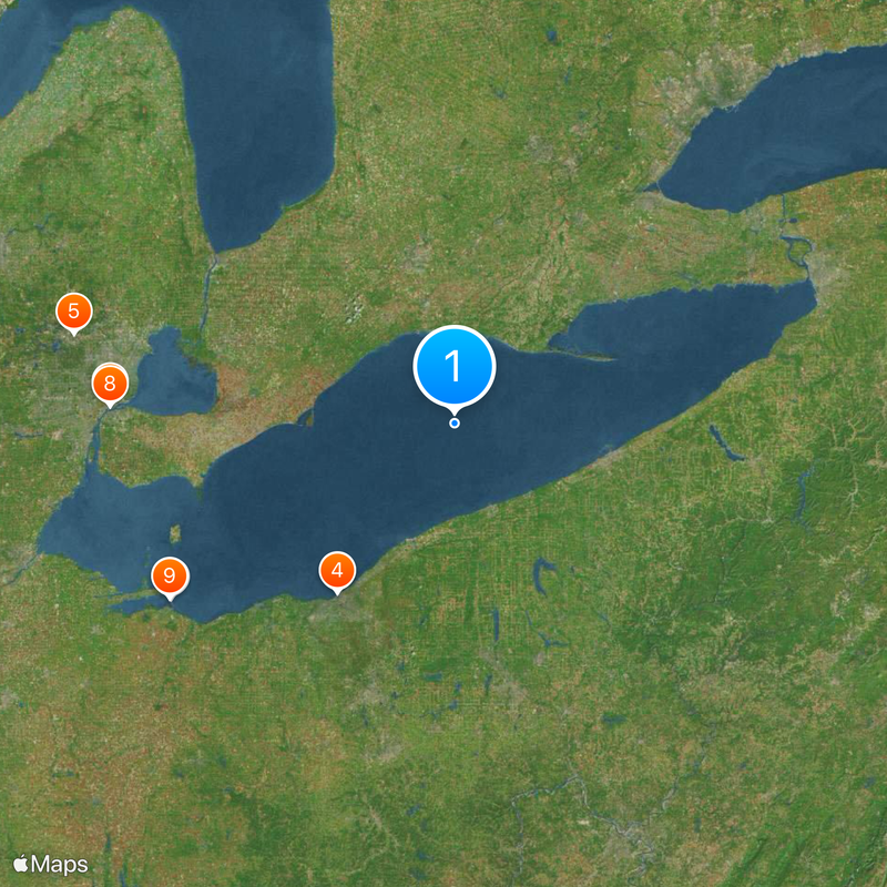
Lake Erie, Freshwater lake between Ontario, Canada and Michigan, Pennsylvania, New York, United States
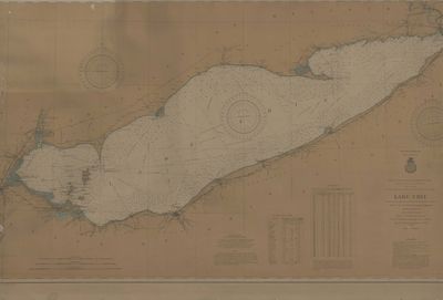
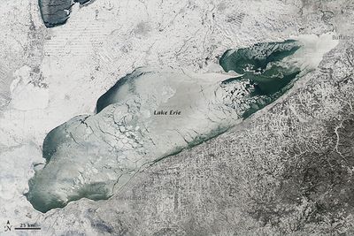
Lake Erie is a freshwater body stretching between Ontario in Canada and the states of Michigan, Pennsylvania and New York in the United States, covering roughly 241 miles (388 kilometers) from west to east. Its surface covers about 9,910 square miles (25,667 square kilometers) and spans up to 57 miles (92 kilometers) across at its widest point, while depth varies sharply between shallow western areas and deeper eastern sections.
French explorer Louis Jolliet documented the lake in 1669, marking the start of European interest in this region. Over the following centuries, the waterway saw wars, industrial growth and environmental shifts that reshaped the communities living along its shores.
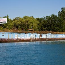
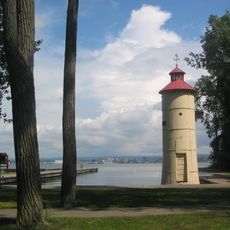
Residents gather along the shore for fishing, sailing and family picnics, especially on summer weekends when parks and beaches fill with people. In port cities, the lake shapes daily rhythms and local festivals, connecting communities across the border through maritime traffic and shared leisure traditions.
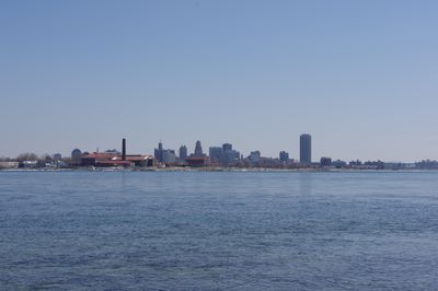
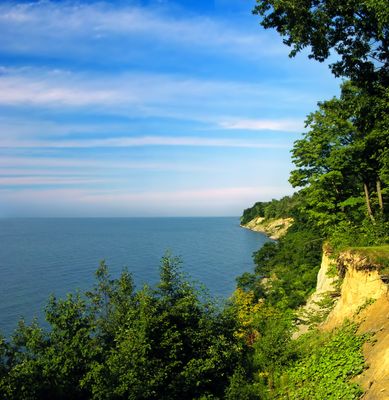
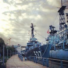
The lake connects major ports including Cleveland, Buffalo and Toledo through a network of waterways, with ferries and recreational boats most active during warmer months. Visitors will find beaches, walking paths and parks along the shores, accessible by car or bicycle for day trips and exploration.
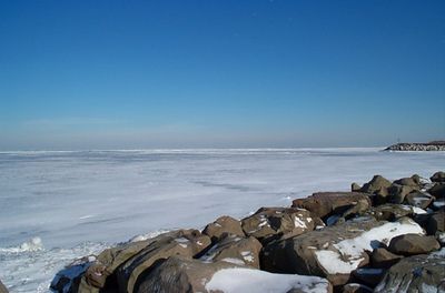
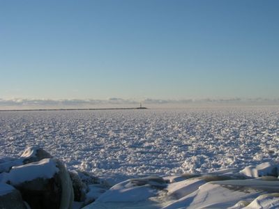
Its deepest point reaches 210 feet (64 meters) and sits entirely above sea level, unlike other Great Lakes, which influences water temperature and ice formation. During winter, much of the surface can freeze, dramatically altering navigation and local weather patterns.
The community of curious travelers
AroundUs brings together thousands of curated places, local tips, and hidden gems, enriched daily by 60,000 contributors worldwide.