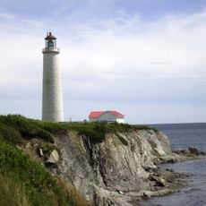
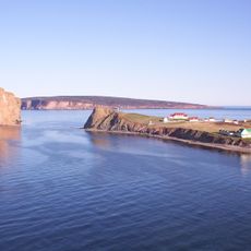
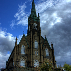
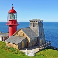
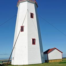
Gaspésie–Îles-de-la-Madeleine, Administrative region in eastern Quebec, Canada.
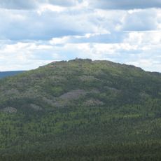
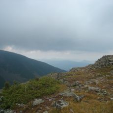
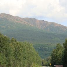
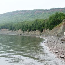
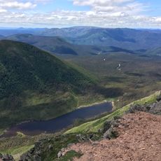
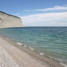
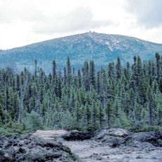
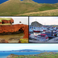
Gaspésie–Îles-de-la-Madeleine is an administrative region combining mainland coastal areas with a distant archipelago scattered across the Gulf of Saint Lawrence. The territory spans roughly 20,000 square kilometers (7,700 square miles) and encompasses numerous municipalities and settlements.
The region received its formal administrative structure in 1987 when two previously separate geographical areas were merged into a single unit. This reorganization created the current boundaries that encompass both the peninsula and the islands.
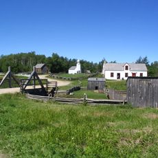
Mi'kmaq communities shape daily life here through their traditions, languages, and presence in local gatherings and celebrations. This heritage is woven into how people identify themselves and relate to the land.
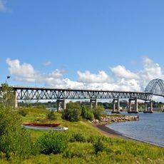
The region is accessible by road network connecting its municipalities and villages, with Gaspé serving as the main hub for reaching other areas. Travel between the mainland and islands is possible through established routes, though conditions can vary by season.
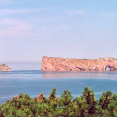
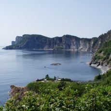
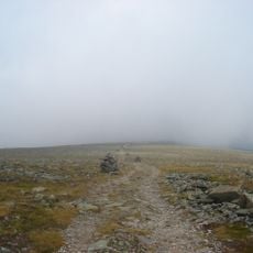
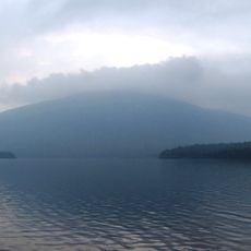
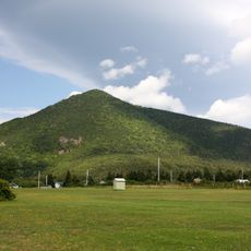
The territory uniquely combines a mainland peninsula with islands scattered far into the gulf, creating distinct ecosystems within a single administrative region. This mixture of land and sea makes it geographically unusual compared to other administrative divisions in the province.
The community of curious travelers
AroundUs brings together thousands of curated places, local tips, and hidden gems, enriched daily by 60,000 contributors worldwide.