Parc naturel régional Gruyère Pays-d’Enhaut

Log in to your account

AroundUs is a community-driven map of interesting places, built by curious explorers like you. It grows with every review, story, and photo you share.
Connect to save your favorite spots, contribute locations, and create personalized routes.
Continue with Google
Continue with Apple
Continue with X
Continue with Facebook
Continue with email
By continuing, you accept our Terms and Conditions and our Privacy Policy
Create an account

Parc naturel régional Gruyère Pays-d’Enhaut

Add to collection
Map
Suggest a change
Share

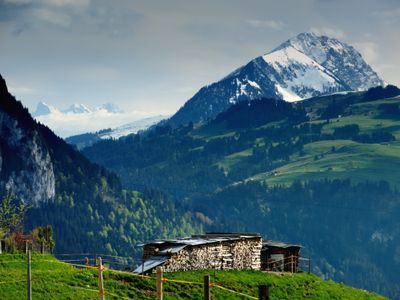
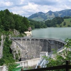
Parc naturel régional Gruyère Pays-d’Enhaut, Nature reserve in western Pre-Alps, Switzerland.

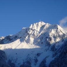
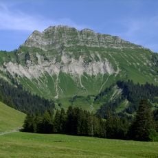
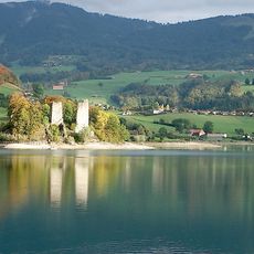
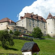
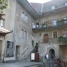
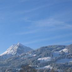
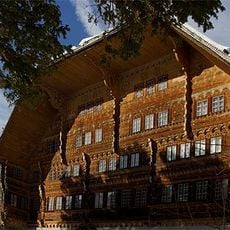
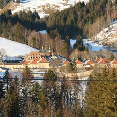
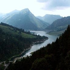
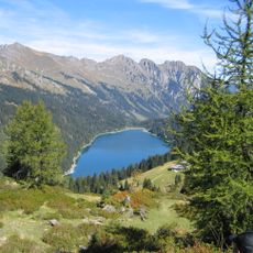
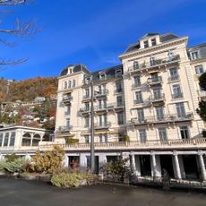
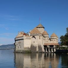
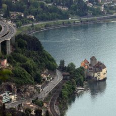
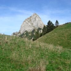
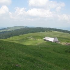
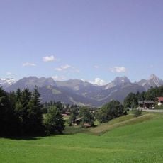
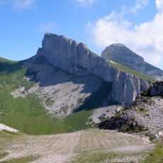
The park covers approximately 630 square kilometers (243 sq mi) across 17 municipalities in the Pre-Alps between the cantons of Fribourg, Vaud, and Bern. The landscape features rolling alpine pastures, green hillsides, forests, and characteristic mountain villages with traditional wooden buildings.

The area received official designation as a regional nature park in 2012, marking a turning point in protecting its agricultural and natural resources. This recognition was based on a long tradition of land use and commitment to sustainable development in the mountainous region.

The region is known for its traditional cheese-making in mountain dairies, where Gruyère and Etivaz are produced using time-honored methods. This craft tradition shapes daily life and the identity of local communities.

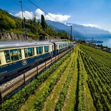
The area is easily reached by public transportation, with regular train and bus services connecting to major Swiss cities. Visitors find well-marked walking paths and hiking routes of varying difficulty levels throughout the park.

The area contains extensive networks of underground limestone caves hidden beneath the mountain pastures. These geological formations attract curious visitors and offer insight into the hidden structure of the landscape.

Location: Châtel-sur-Montsalvens

Location: Crésuz

Location: Val-de-Charmey

Location: Bas-Intyamon

Location: Grandvillard

Location: Haut-Intyamon

Location: Château-d’Oex

Location: Rossinière

Location: Rougemont

Location: Ormont-Dessous

Location: Montreux

Location: Veytaux

Location: Villeneuve

Website: https://gruyerepaysdenhaut.ch

GPS coordinates: 46.47028,7.10528

Latest update: December 14, 2025 12:21

Photos
Reviews

Visited this place? Tap the stars to rate it and share your experience / photos with the community! Try now! You can cancel it anytime.

« Parc naturel régional Gruyère Pays-d’Enhaut - Nature reserve in western Pre-Alps, Switzerland » is provided by Around Us (aroundus.com). Images and texts are derived from Wikimedia project under a Creative Commons license. You are allowed to copy, distribute, and modify copies of this page, under the conditions set by the license, as long as this note is clearly visible.

Discover hidden gems everywhere you go!

From secret cafés to breathtaking viewpoints, skip the crowded tourist spots and find places that match your style. Our app makes it easy with voice search, smart filtering, route optimization, and insider tips from travelers worldwide. Download now for the complete mobile experience.

Around Us App Screenshot

A unique approach to discovering new places

Le Figaro

All the places worth exploring

France Info

A tailor-made excursion in just a few clicks

20 Minutes