Ghaghara River, Major river system from Tibet through Nepal to northern India.
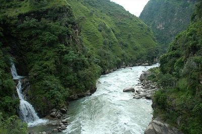
The Ghaghara is a river system in Bihar that flows from the Himalayas through Nepal to the Ganges near Chapra. Along its course it cuts through the Siwalik Hills and receives several tributaries including the Kuwana, Rapti and Little Gandak before entering the plain.
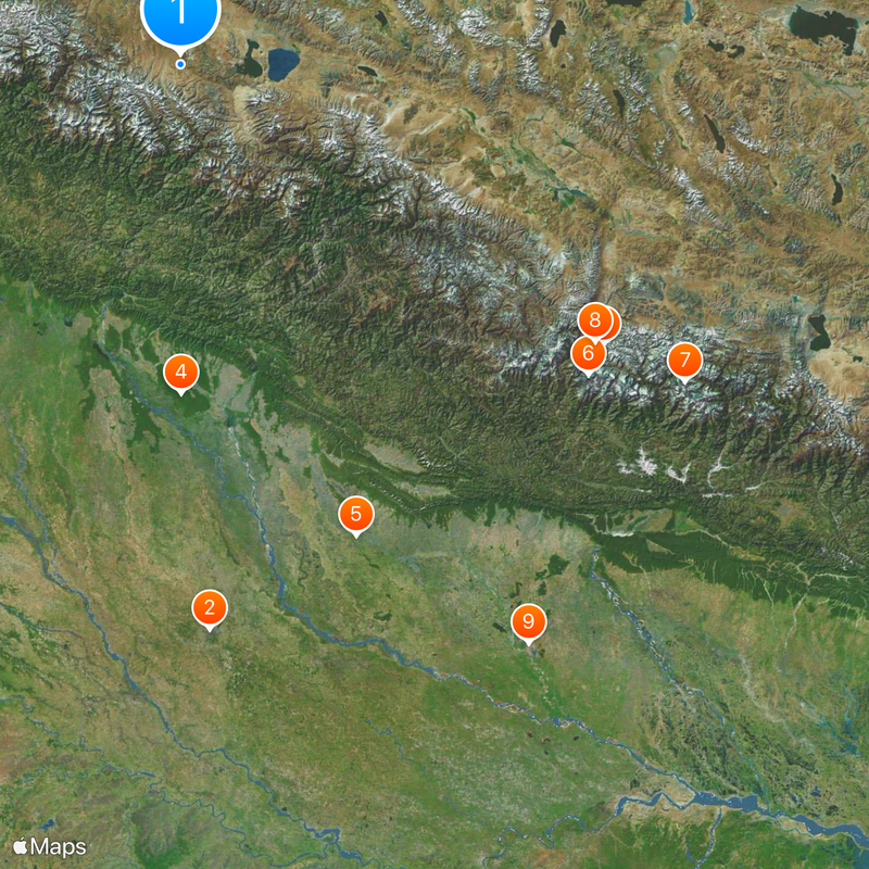
The geographer Ptolemy mentioned this river in the second century in his writings and called the lower part Sarabos. Later this section became known by the name Sarju, which it still carries today.
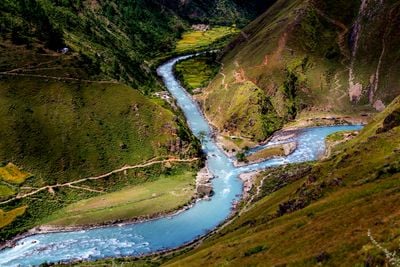
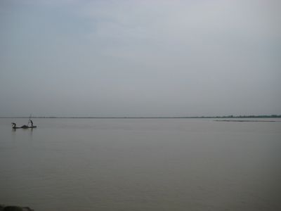
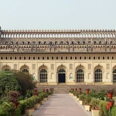
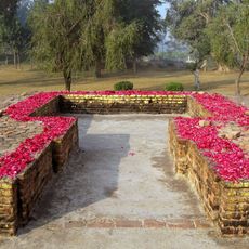
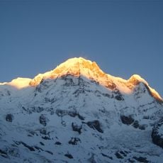
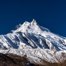
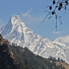
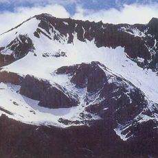
The name Mapchachungo comes from Tibetan and marks the glacier origin of the river above 3,900 meters. Along the banks in Bihar, communities use the water daily for irrigation and as a lifeline for their fields during the dry months.
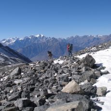
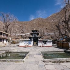
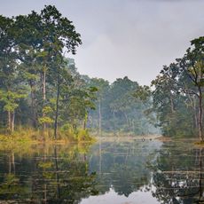
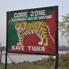
The river basin extends over a wide area and includes several protected areas such as Bardia National Park in Nepal. Visitors find there habitats for gharials and Ganges dolphins that swim in the calmer sections.
The glacier origin at almost 4,000 meters supplies meltwater even in the dry season and keeps the water level relatively stable. The monsoon rains then increase the flow and fill the tributaries down into the plains of Bihar.
The community of curious travelers
AroundUs brings together thousands of curated places, local tips, and hidden gems, enriched daily by 60,000 contributors worldwide.